

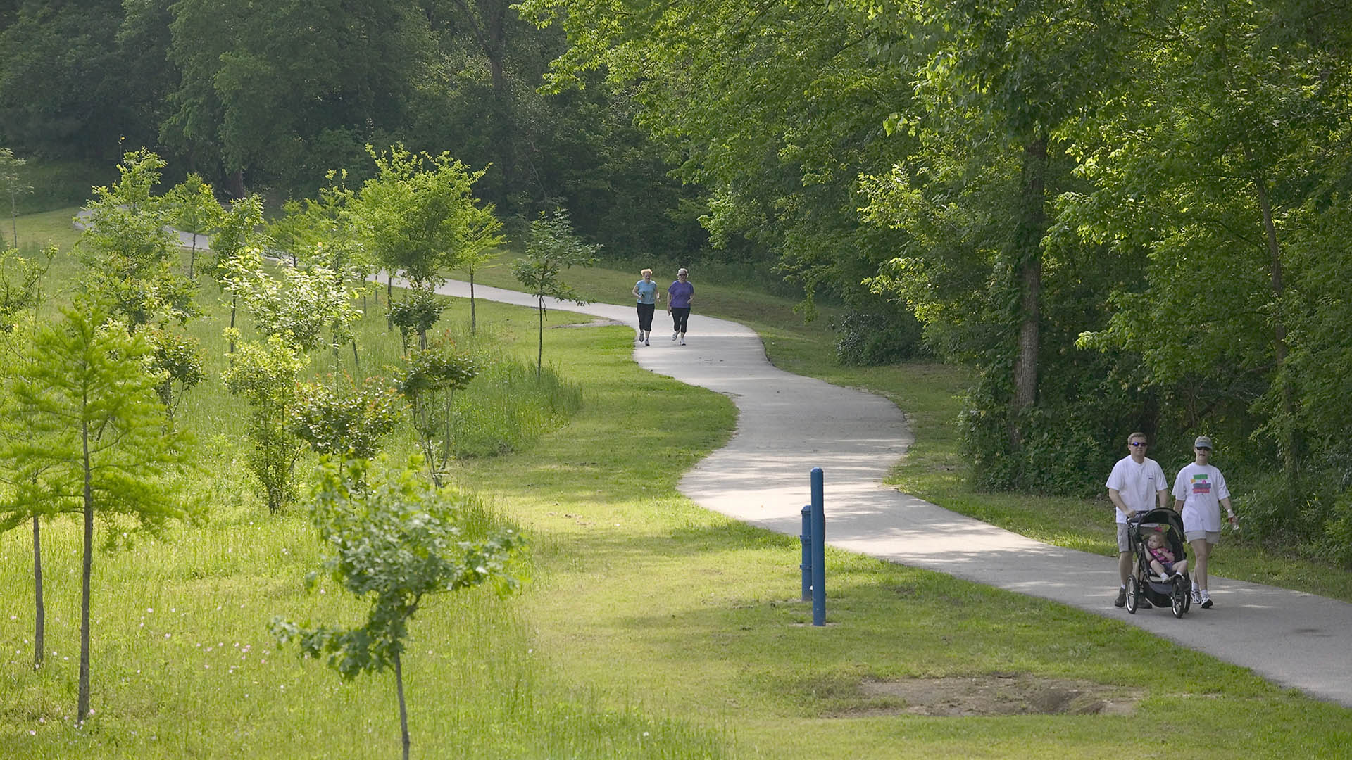
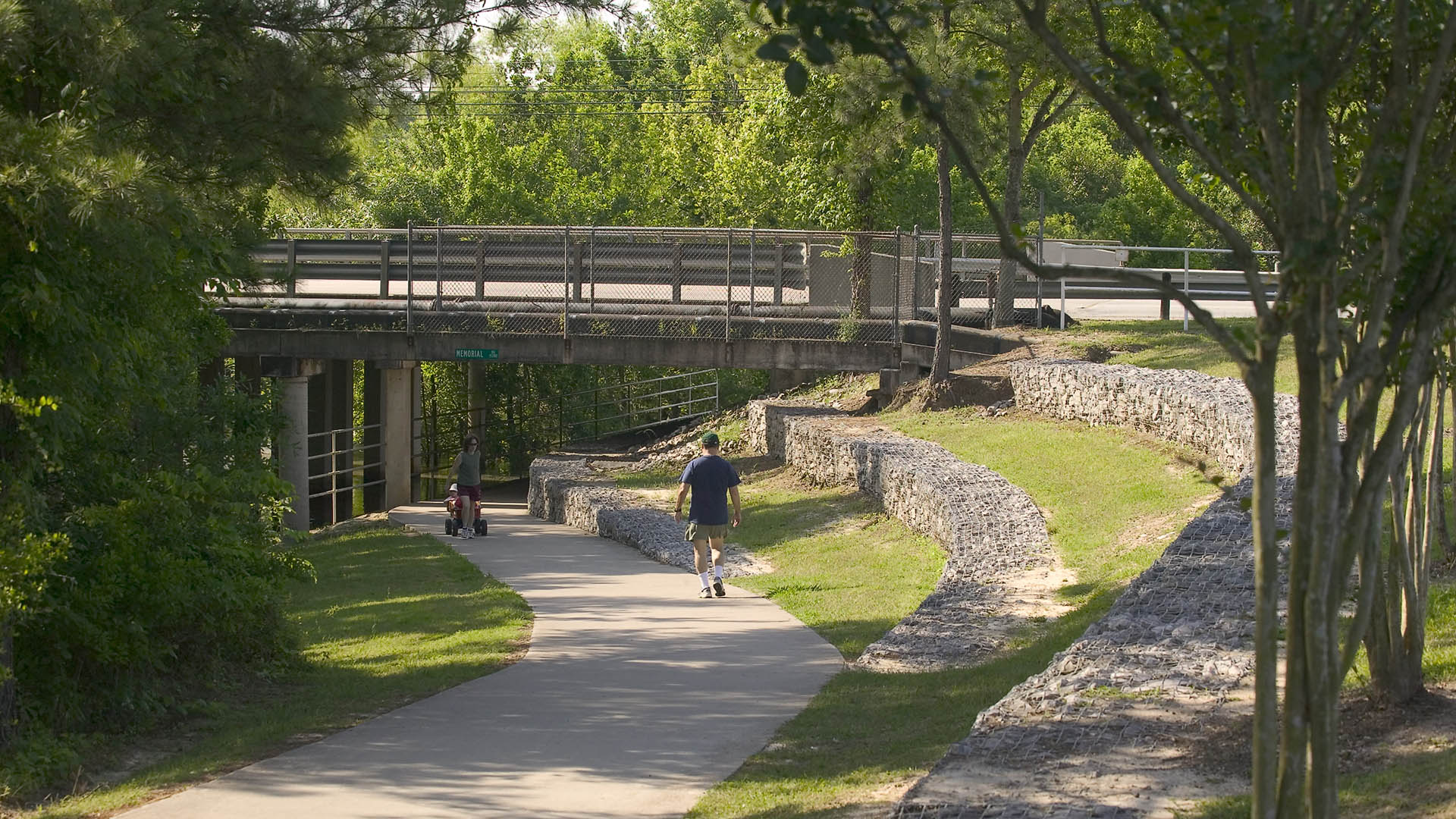




The park design includes a one-mile hike and bike trail system, a pedestrian underpass linking the park to an existing trail system, bridges over the creek, and automobile parking. Gabions were used as an environmentally friendly means of slope retention in a floodway and as a tool for creating places for people to enjoy the wooded environment. Sinuous banks and vegetation masses soften the edges and a trail meandering through stands of pine and oak replaces the former service road. Meadow areas for passive recreation are found in the center of the site while edges are allowed to grow up in shrubs and trees. The project required coordination and approval of Harris County Flood Control District, the U.S. Army Corps of Engineers, Houston Lighting and Power, the City of Houston, and three pipeline interests.
Embankment Square
The Embankment Square is located along the east bank of the Huangpu River in Shanghai. The project consists of landscape areas in three office parcels and one waterfront park parcel. The view of the site is remarkable, looking toward the landmark skyscrapers of Lujiazui Financial Center, Nanpu Bridge, the Bund, and the Minsheng CBD.
The design concept c...
Ningbo East New Town Civic Plaza
As an extension of the Ningbo East New Town Government Center, this civic plaza extends the geometry and ecology of SWA’s past work in the city. A central civic axis runs from the government buildings to the Dongqian Lake edge, providing a large, flexible gathering/event space adjacent to an expansive lawn as well as sweeping views of the water. Per city plann...
Hunter's Point South Waterfront Park
Hunter’s Point South Waterfront Park was envisioned as an international model of urban ecology and a world laboratory for innovative sustainable thinking. The project is a collaboration between Thomas Balsley Associates and WEISS/MANFREDI for the open space and park design with ARUP as the prime consultant and infrastructure designer.
What was once a ba...
The Clearing: Sandy Hook Permanent Memorial
This project was designed to honor the 20 children and six educators who were slain on Dec 14, 2012 at Sandy Hook Elementary School. Designers Dan Affleck and Ben Waldo created a competition-winning design for a memorial space which is both open-ended and unifying in how it is experienced, honoring the full spectrum of emotions this tragedy evokes. They wanted...