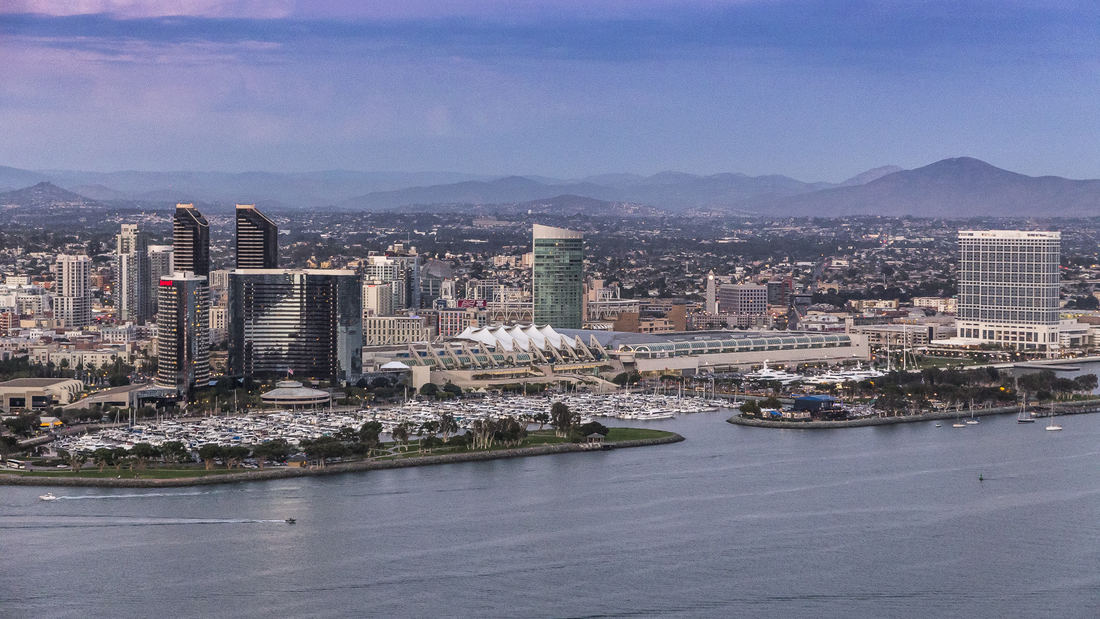
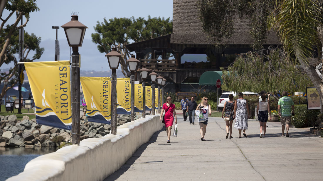
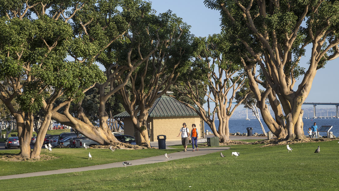
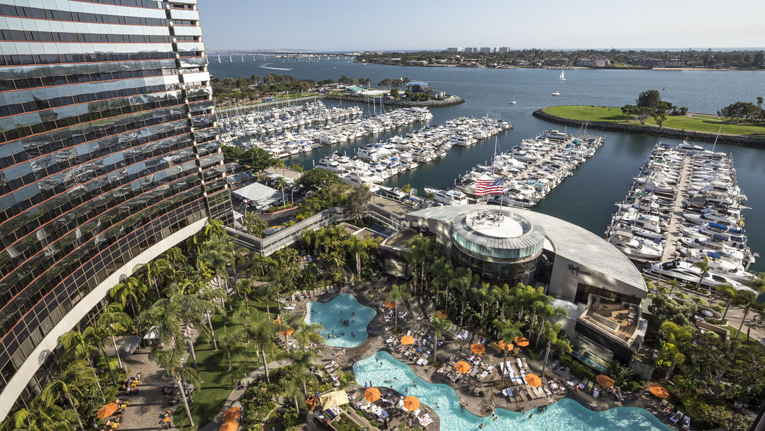
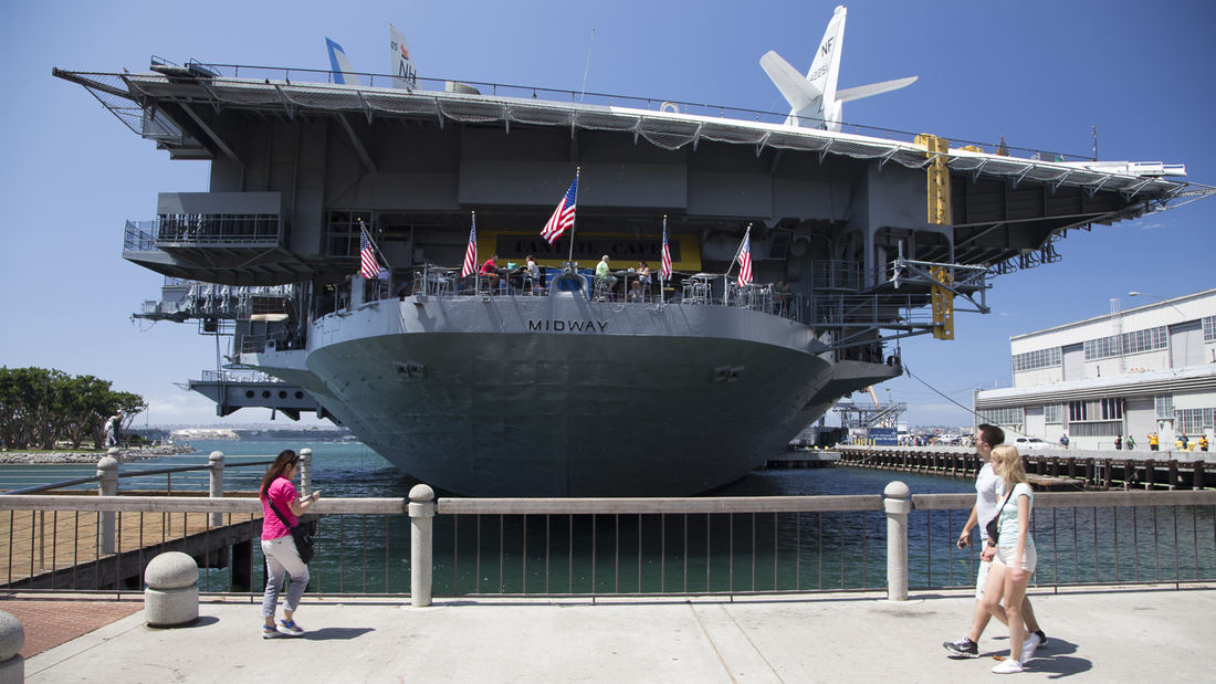
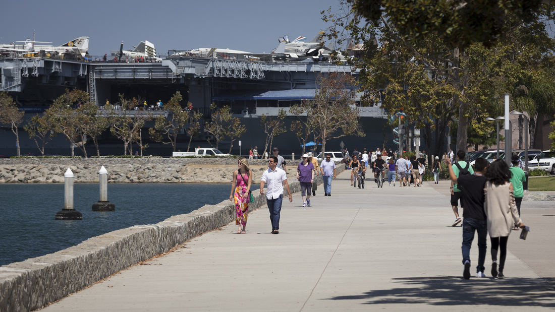
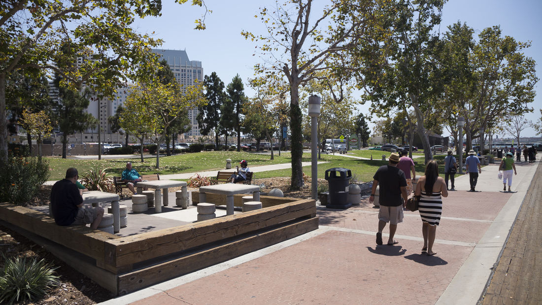
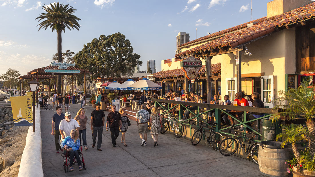
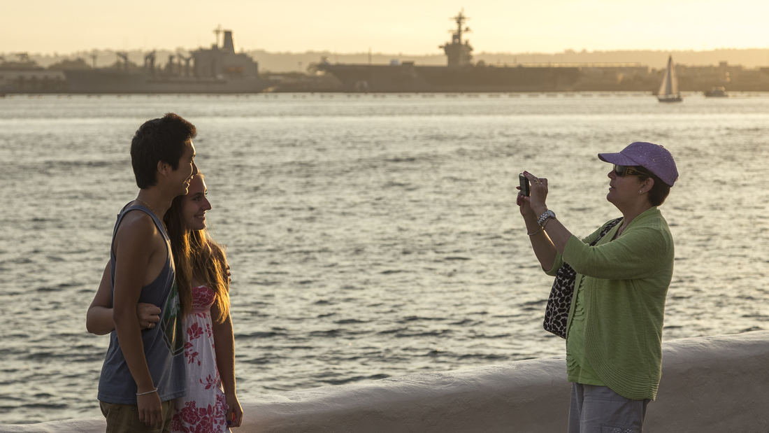
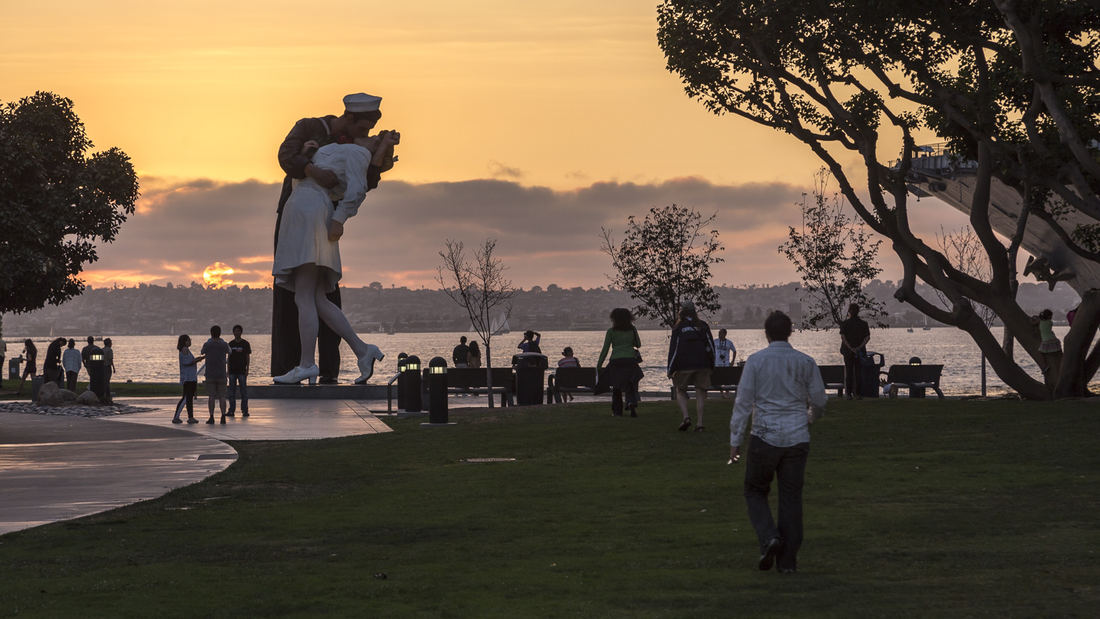
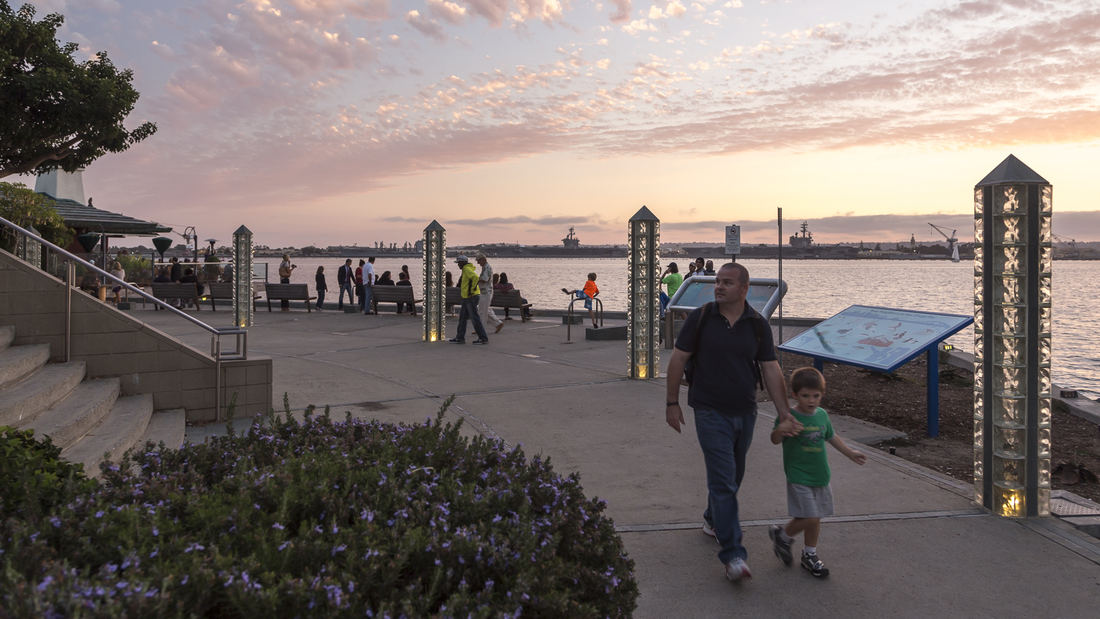
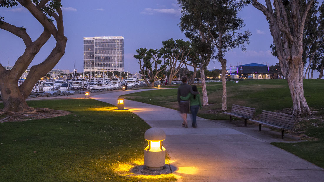
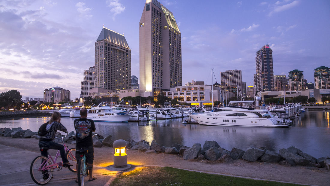
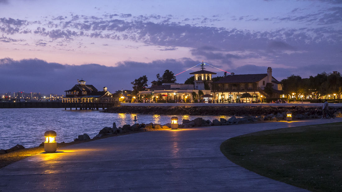
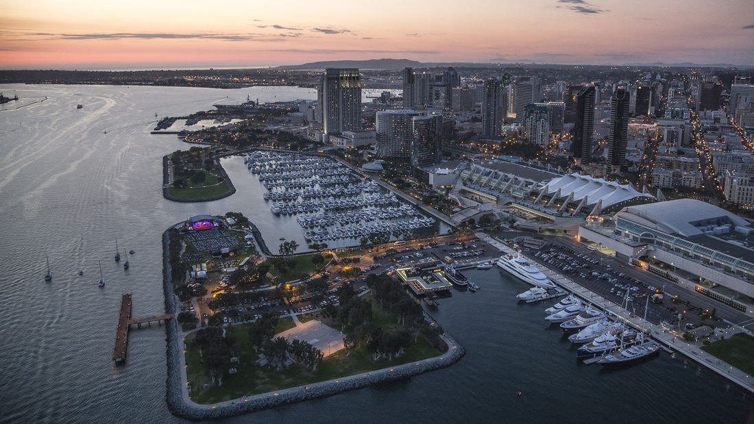
The redevelopment plan for the waterfront and port facilities adjacent to downtown San Diego included translating community and economic requirements into a specific planning program. Emphasis was placed on urban design, circulation and parking, landscaping, environmental planning, and engineering considerations with a set of comprehensive implementation guidelines. The plan introduced a continuous greenway and boardwalk traversing the waterfront. SWA led an interdisciplinary team through the following: · An intensive environmental review · A community workshop process · Development of a space utilization program with the economic consultant · Coordination with local agencies, U.S. Navy, state agencies, the new California Coastal Commission, and community groups · Development of transportation alternatives · Development of land and space use alternatives · Preparations of a phased Master Plan, including detailed shoreline plans · Preparation of an Environmental Impact Report Initial Study · Preparation of Development Guidelines · Audiovisual presentation for the approval process Perhaps most importantly, the designers were responsible for formulating and directing a comprehensive, forthright approach to the planning process. They directed a series of public workshops that determined goals and evaluated alternatives. A complete environmental analysis and Environmental Impact Report addressed additional concerns. Finally, the plan mitigated much of the concern of the Coastal Commission, state agencies and citizen groups by conceptualizing and communicating a vision for the waterfront that was, as stated in the plan, “in human terms, viable and contemporary in the dynamic San Diego metropolitan environment . . . The Embarcadero is the place where San Diego meets the Sea”. The plan, its guidelines and the subsequent implementation over three decades have given the citizens of San Diego and through tourism, the state and country, access to the magnificent shoreline of San Diego Bay for public enjoyment, economic renewal and community revitalization. The citizens of this culturally diverse region have been able to celebrate the water’s edge as a place to visit, enjoy and experience their family and community life. The plan set the course for this and future efforts of the Port to re-use their lands and reclaim their franchise for the people of California.
NOAH Ethnographic Village
Armenia has set an initiative to increase global tourism and develop a site within its capital city with majestic views of Mount Ararat, where Noah’s Ark is purported to have landed. SWA developed a strategic plan based on several principles derived from the existing context of the site: first, to capitalize its proximity to important landmarks that allow for ...
SIPG Harbor City Parks
This new riverfront development is located on the Yangtze River in the Baoshan District of Shanghai. This area boasts some of the highest shipping activity in the world. However, in recent years this single-function industrial zone has given way, allowing for waterfront parks to develop. Within this historically layered water front the Baoshan Park and Open Sp...
Guthrie Green Park
Guthrie Green transforms a 2.6-acre truck yard into a lively urban park in the heart of downtown Tulsa’s emerging arts district. Opened in September 2012, Guthrie Green has become the area’s leading destination, drawing 3,000 plus people weekly to activities that have enriched the urban experience and spurred district-wide revitalization. The high-performance ...
Dubai Opera District
The elegant and the everyday coexist harmoniously in Dubai’s new Opera District, is a stylish cultural destination set to promote culture and the arts, stimulate global exchange, encourage local talent, and serve as a vibrant events venue. Dramatic view corridors lead to both to the opera house and to the adjacent spectacle of the world’s tallest building—the ...


