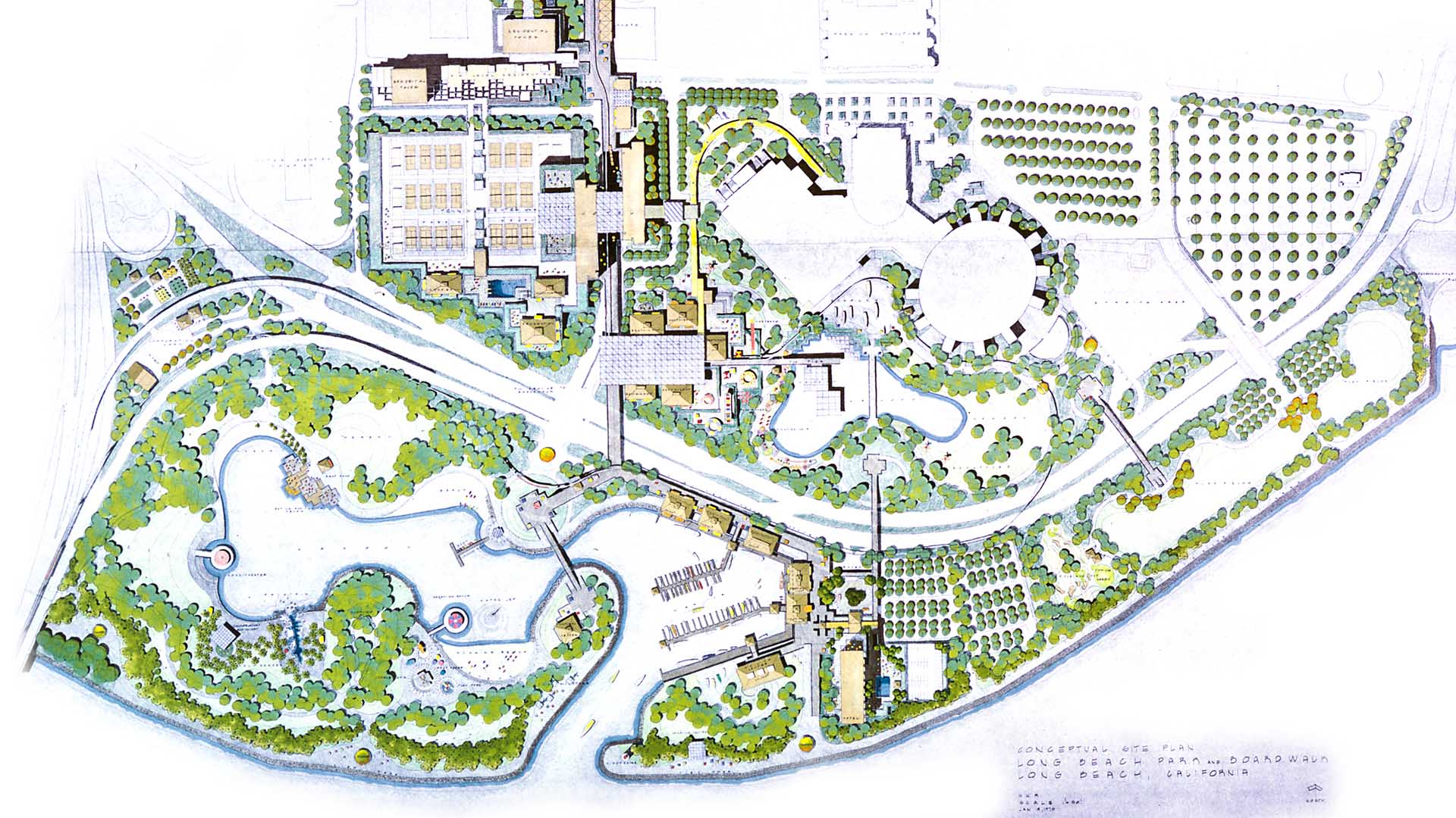
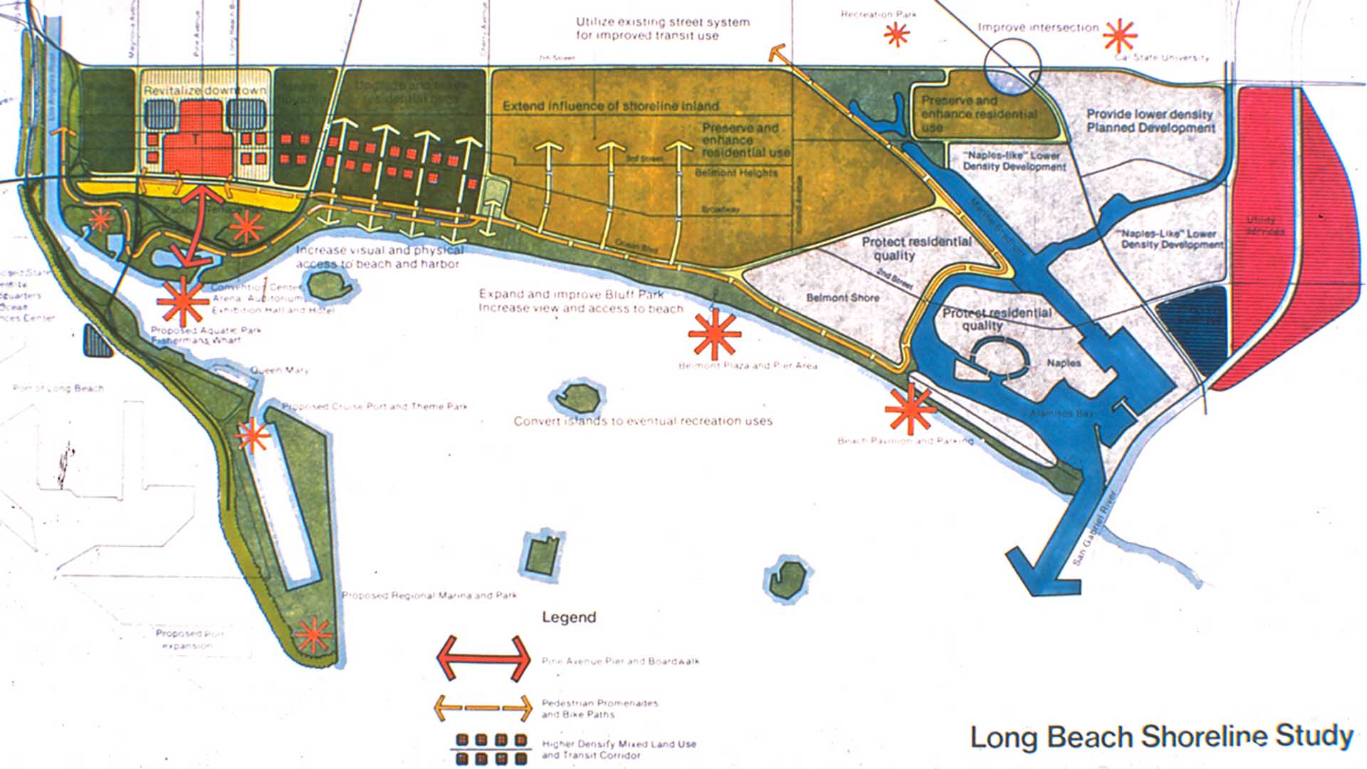
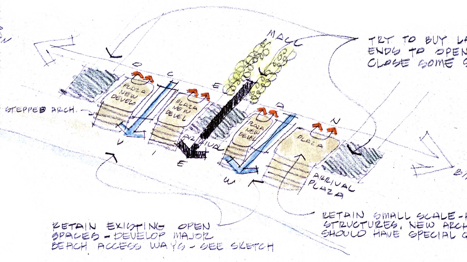
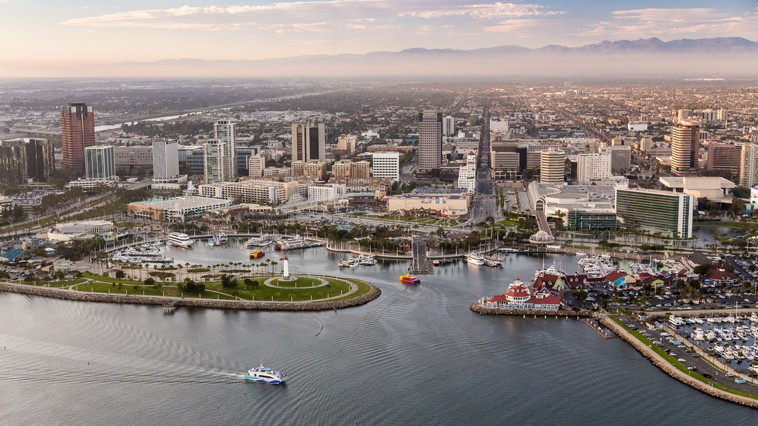
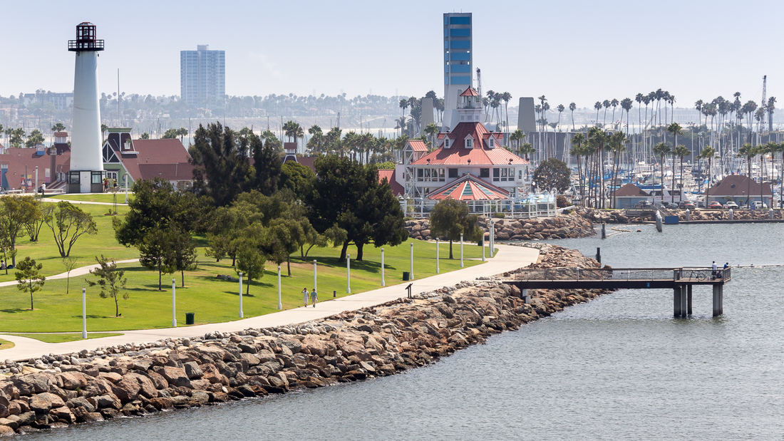
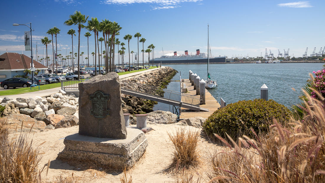
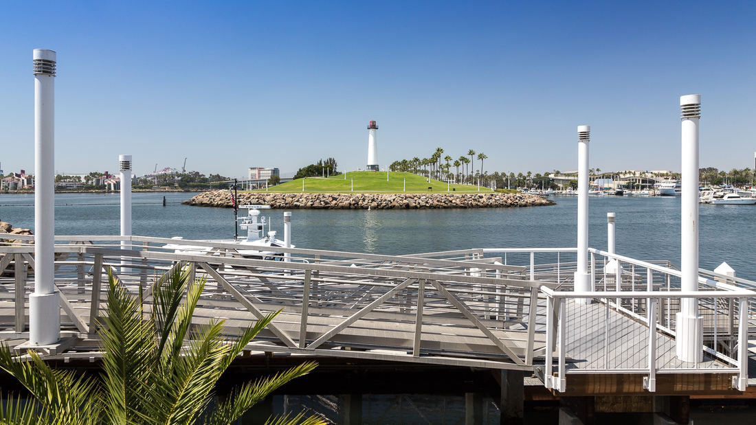
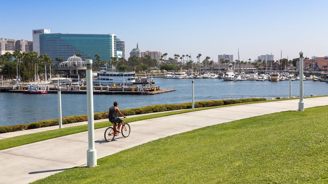
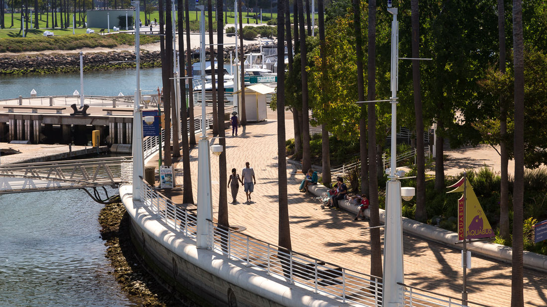
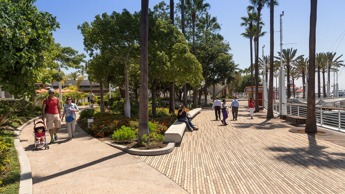
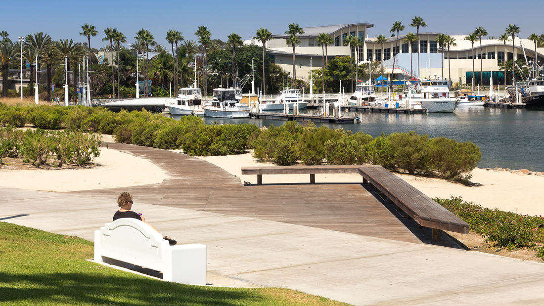
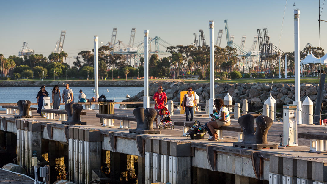
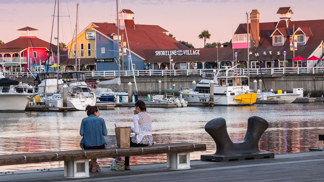
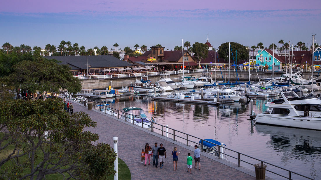
SWA prepared a land use and urban design plan for six miles of waterfront adjacent to downtown Long Beach. Through a series of meetings with local community stakeholders, we were able to determine the different needs of each district in the plan: of critical importance was the need to preserve valuable open space inland, and to maintain an ecological corridor for stormwater management along the shoreline. The resulting plan, endorsed by the California Coastal Commission, proposed improved road circulation, a continuous pedestrian boardwalk, marina and commercial development, and a 50-acre shoreline park. In addition to recommendations related to building density and height restrictions to preserve view corridors, SWA proposed several strategies for improving access to the coast from different points within the city. Specifically, we proposed a major new pedestrian spine linking downtown to the bay with provisions for new high-density office and residential development. Following approval of the plan, SWA was hired to perform more detailed studies of downtown development in support of the new convention center arena, performing arts center, Hyatt Regency hotel, and the Shoreline Village. The important recommendations made by SWA are still evident today in the distinct qualities of Long Beach’s downtown and shoreline neighborhoods.
St Johns Riverfront Design Incentive Strategy
As part of a larger effort to establish its downtown as a center for business and culture during a period of unprecedented growth, the City of Jacksonville was in need of a design and investment strategy for its underused waterfront along both banks of the St. Johns River. The design team’s approach entails both a large-scale and a node-based strategy, identif...
Shenzhen Bay
Situated just across the bay from Hong Kong, the city of Shenzhen has transformed from a small fishing town of 30,000 to a booming city of over 10 million people in 40 years – and has grown over 200 times its original size since 1980. Along the way, the character of Shenzhen’s bayfront was radically altered. Over 65 km2 of marsh and shallow bay were filled to ...
Fuyang Riverfront
Seizing the area’s reputation for “one of the best mountain and water views in the world,” the natural framework along both sides of the Fuchun River inspires this plan integrating urban spaces with landscape to create a harmonious skyline. Fuyang flourishes with economic prosperity while honoring its vibrant cultural heritage.
The scope includes urban d...
NOAH Ethnographic Village
Armenia has set an initiative to increase global tourism and develop a site within its capital city with majestic views of Mount Ararat, where Noah’s Ark is purported to have landed. SWA developed a strategic plan based on several principles derived from the existing context of the site: first, to capitalize its proximity to important landmarks that allow for ...


