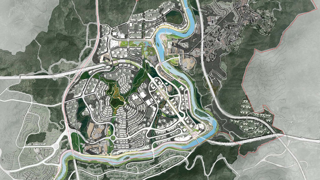
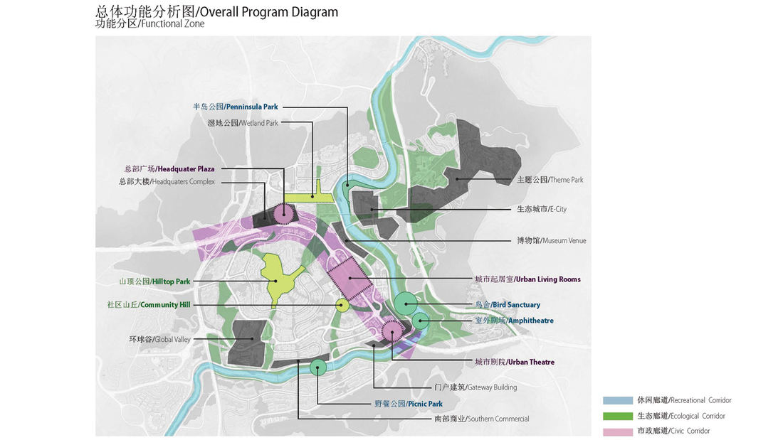
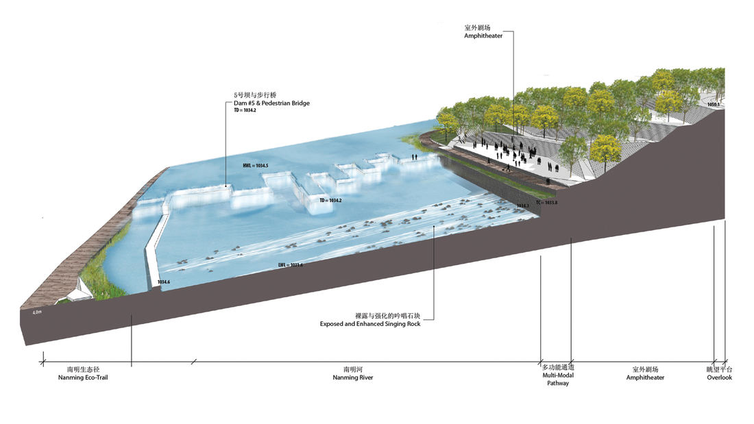
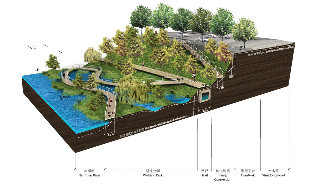
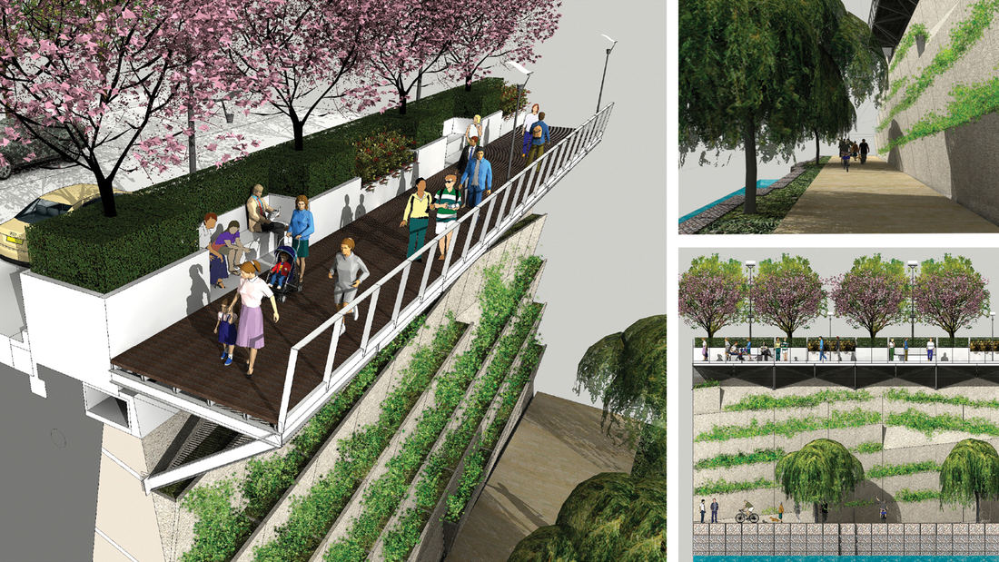
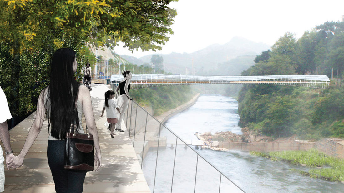
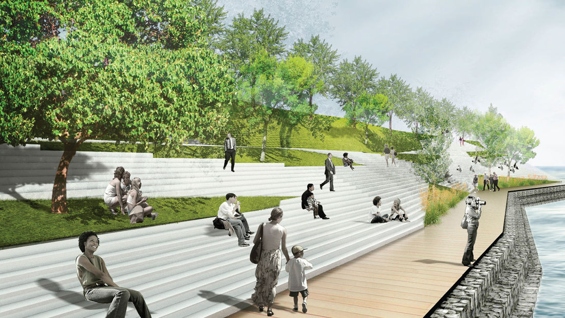
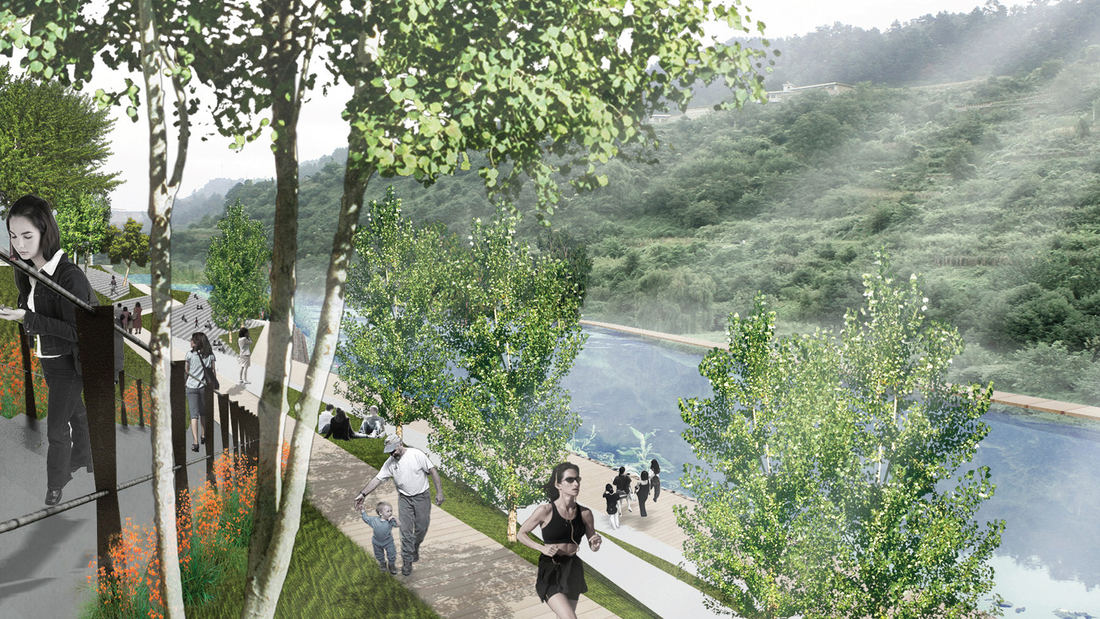
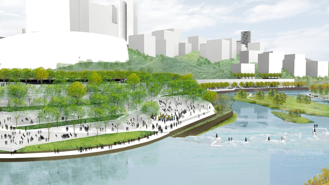
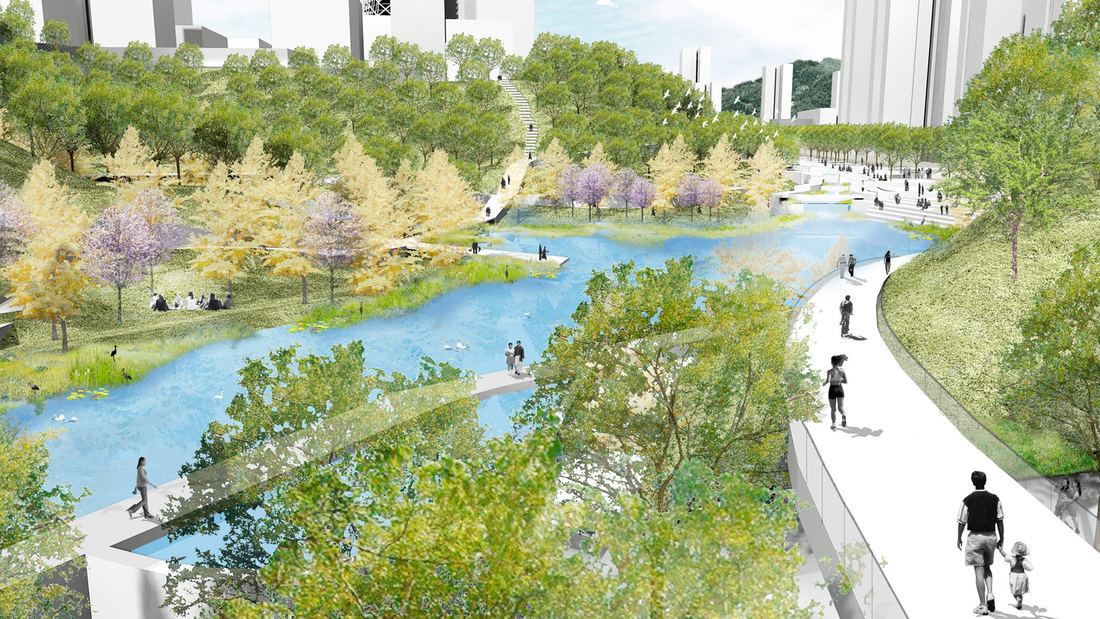
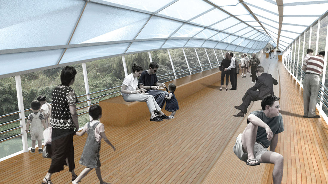
Guiyang Hot Springs, located in Guiyang City, China, brings together the rhythm of the Nanming River, and surrounding trails and trees to create a new urban ‘living room’ in the interstitial space created by new development and roadway infrastructure. Nestled into a mountainous site, the master planning addressed elevation changes of up to 100 meters and the existing relationship of its topography and watersheds connected with the river. The vision incorporated a strategy to preserve ecological corridors while allowing for future development and tourism. The Phase 1 design uses the natural landscape framework and pathways along the river valley to guide a new circulation artery and community parks, emulating the concept of a flowering river. Linear terraces for green corridors reveal expansive views, while harboring varying habitats and facilitating ecological growth without extensive intervention. The subtle manipulation of the land creates seasonal creeks which change dynamically and reinforce the ecological and environmental habitat. The circulation network is accessible to pedestrians, bicycles, cars and boats, forming a major transportation system along the ten-mile river. Based on the rhythms of movement, water and trees, the design for Guiyang Hot Springs provides a natural respite within an urban environment that gives a corridor of community space to the people of Guiyang.
Golden Gate National Recreation Area
In the early 1970s, the National Park Service began the enormous task of creating a new national recreation area in the midst of an urban center—the San Francisco Bay Area, home to 4.5 million people at the time. Riding the wake of the environmental revolution of the late 1960s, the Park Service would need to find consensus among a wide range of constituents, ...
Bend of the River Botanic Garden
The Bend of the River Botanic Garden Master Plan will transform an 88-acre site in Temple, Texas, into a regional destination. Located at the southeast quadrant of the intersection of interstate I35 and the Leon River, the site is composed of two parcels separately donated to the City of Temple and consolidated into a single property. Public engagement was cr...
Mason Park Bridge
Prior to construction of this Brays Bayou feature, road and rail infrastructure had conspired with the waterway to sever connectivity between parks and surrounding neighborhoods. The Mason Park Pedestrian Bridge, part of a larger effort including trails, seating plazas, lighting, and planting, connects the north and south parts of the City of Houston’s Mason P...
Jeffrey Open Space Park
The Jeffrey Open Space Park represents approximately 96 acres of park and trails, with an average width of 265 ft. The three-mile long spine is designed for passive uses with a network of trails that connect to residential neighborhoods and active recreation parks.
The design process included a series of community workshops to solicit community’s commen...


