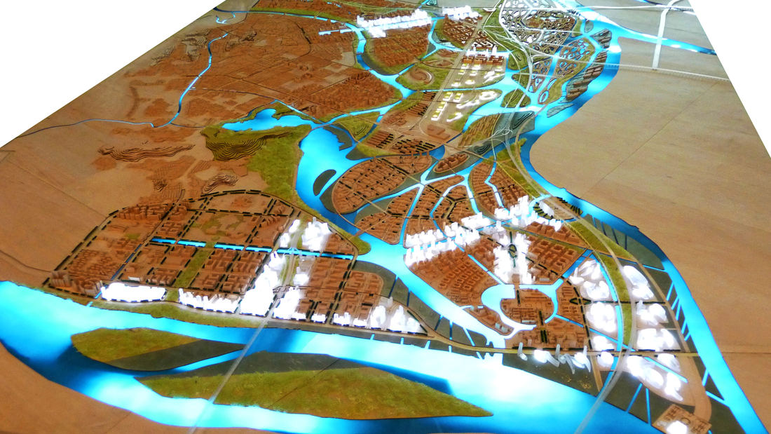
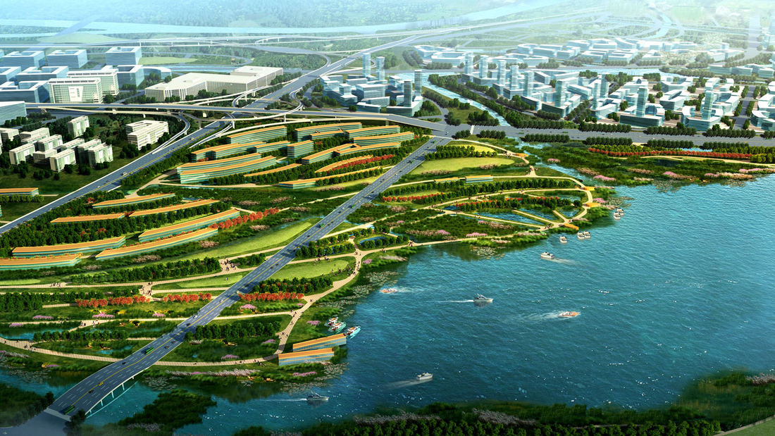
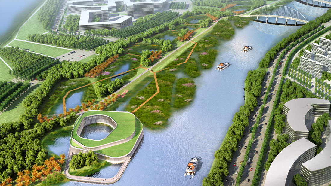
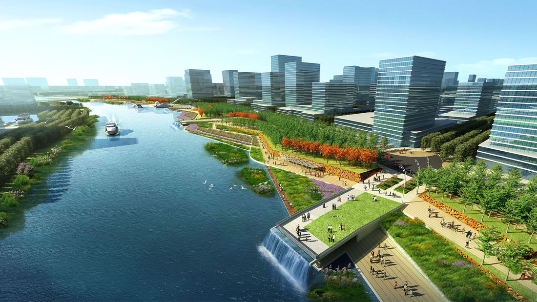
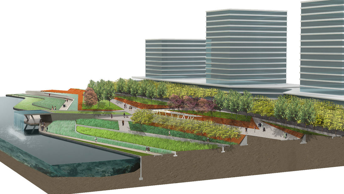
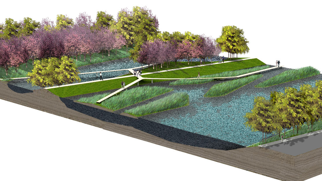
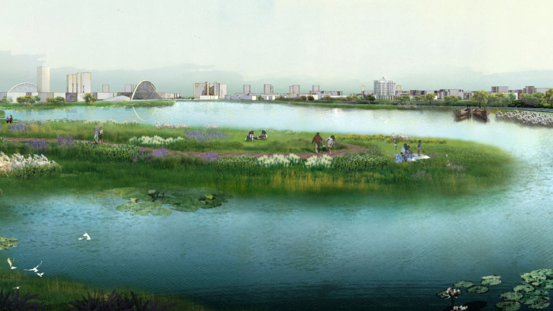
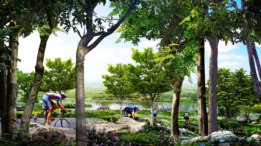
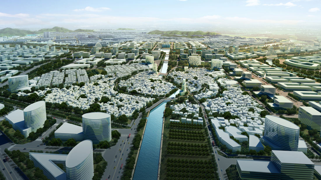
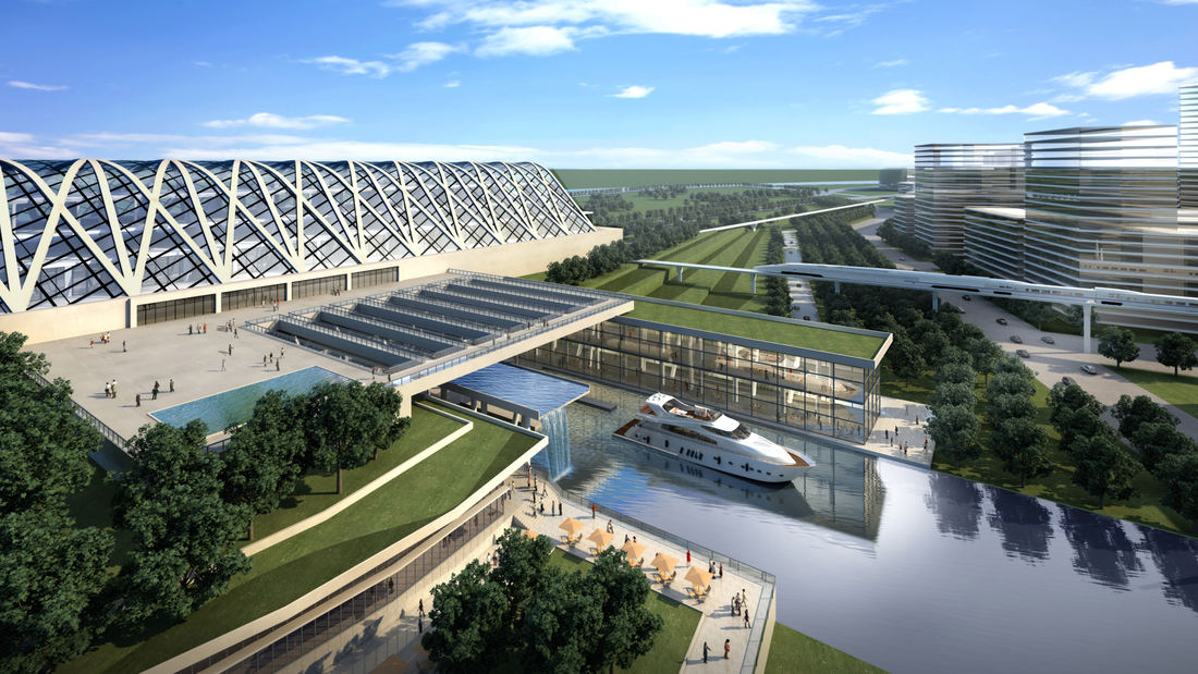
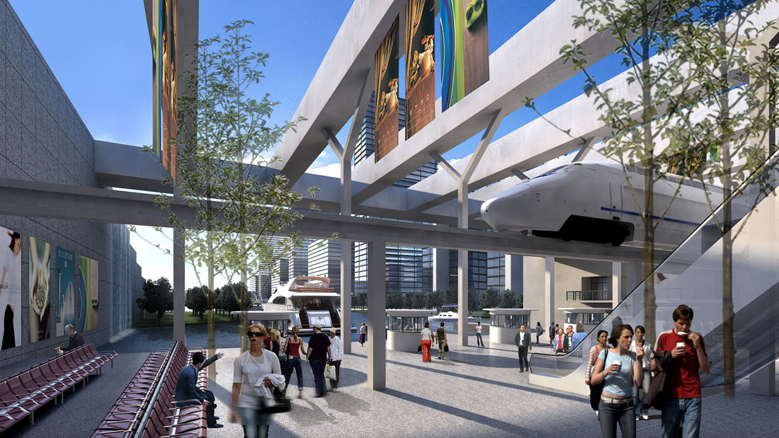
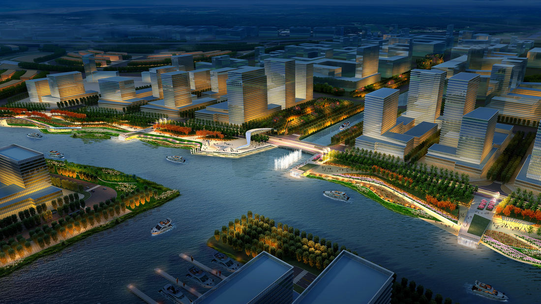
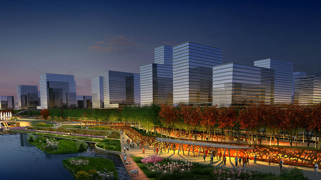
SWA participated in a competition reimagining 19-kilometers of the Guipan River waterfront in Shunde, China. While the Pearl River Delta is one of the fastest growing regions of Southern China, one of the many casualties of this growth was the delta itself. Presently, Shunde has a growing flooding problem enhanced by channelizing, condensing, and containing the river system. What was once a healthy delta with countless braided river ecologies has now been constrained into 3 river systems. SWA’s design for the Guipan waterfront reflects the local Linnan waterway and “mulberry-and-fish-pond” agricultural system as the typology of new wetlands and park spaces, expressed as a series of wetland filtration ponds. The larger setting for the waterfront park is the 72-square-kilometer master plan previously developed by SWA and focuses on five unique zones: Urban Park, Wildlife Park, Recreation Park, Office Park, and Wetland Park. The concept focuses on restoring the constructed wetlands as the armature for a multimodal city while restoring the wildlife habitats for the larger Pearl River Delta. The plan develops individual islands as pedestrian-scaled mixed-use villages that are linked by a proposed environmental infrastructure of greenbelts, water corridors, rail, trails and a multilayered transportation system. In order to maximize edge surface area and increase opportunities for exchange, the 19-kilometer Guipan River project proposes a braided system of fine-grained waterways to increase filtering capacity and reconnect the new planned City of Shunde to the river. SWA’s design for the site maximizes the social and economic value of the river by emphasizing and expanding its inherent qualities of place, ultimately creating a comprehensive and connected waterfront to rehabilitate and reestablish the Pearl River Delta as a healthy ecological landscape.
San Diego Embarcadero
The redevelopment plan for the waterfront and port facilities adjacent to downtown San Diego included translating community and economic requirements into a specific planning program. Emphasis was placed on urban design, circulation and parking, landscaping, environmental planning, and engineering considerations with a set of comprehensive implementation guide...
Downtown Jebel Ali Landscape Master Plan, UAE
Downtown Jebel Ali is a new development located 35 kilometers southwest of Dubai, along an 11 km stretch of Sheikh Zayed Road. Representing the first phase of a major mixed-use development on the outskirts of Dubai, the project includes two high-rise office buildings and two high-rise apartment buildings with access to Sheik Zayed Road. Mixed-use buildings and...
San Pedro Waterfront Connectivity Plan
Spanning over 460 acres and 8 linear miles of waterfront, the Port of Los Angeles is among the most important pieces of infrastructure in the Western Hemisphere—the largest container port in the U.S., a linchpin for global logistics, and an industrial hub critical to San Pedro and L.A. County at large.
Today, the Port is imagining a more connective, acc...
Shenzhen Bay
Situated just across the bay from Hong Kong, the city of Shenzhen has transformed from a small fishing town of 30,000 to a booming city of over 10 million people in 40 years – and has grown over 200 times its original size since 1980. Along the way, the character of Shenzhen’s bayfront was radically altered. Over 65 km2 of marsh and shallow bay were filled to ...


