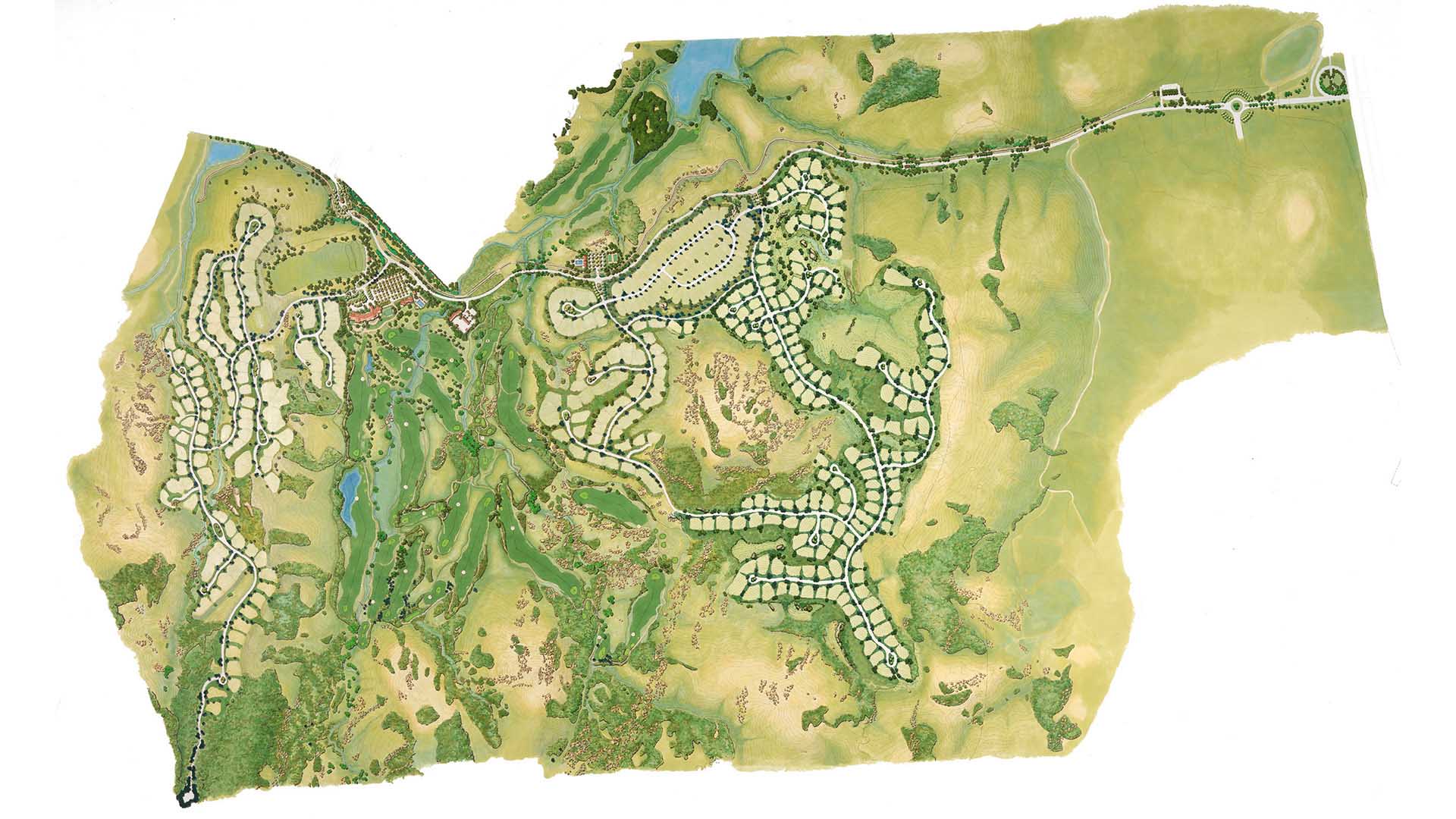
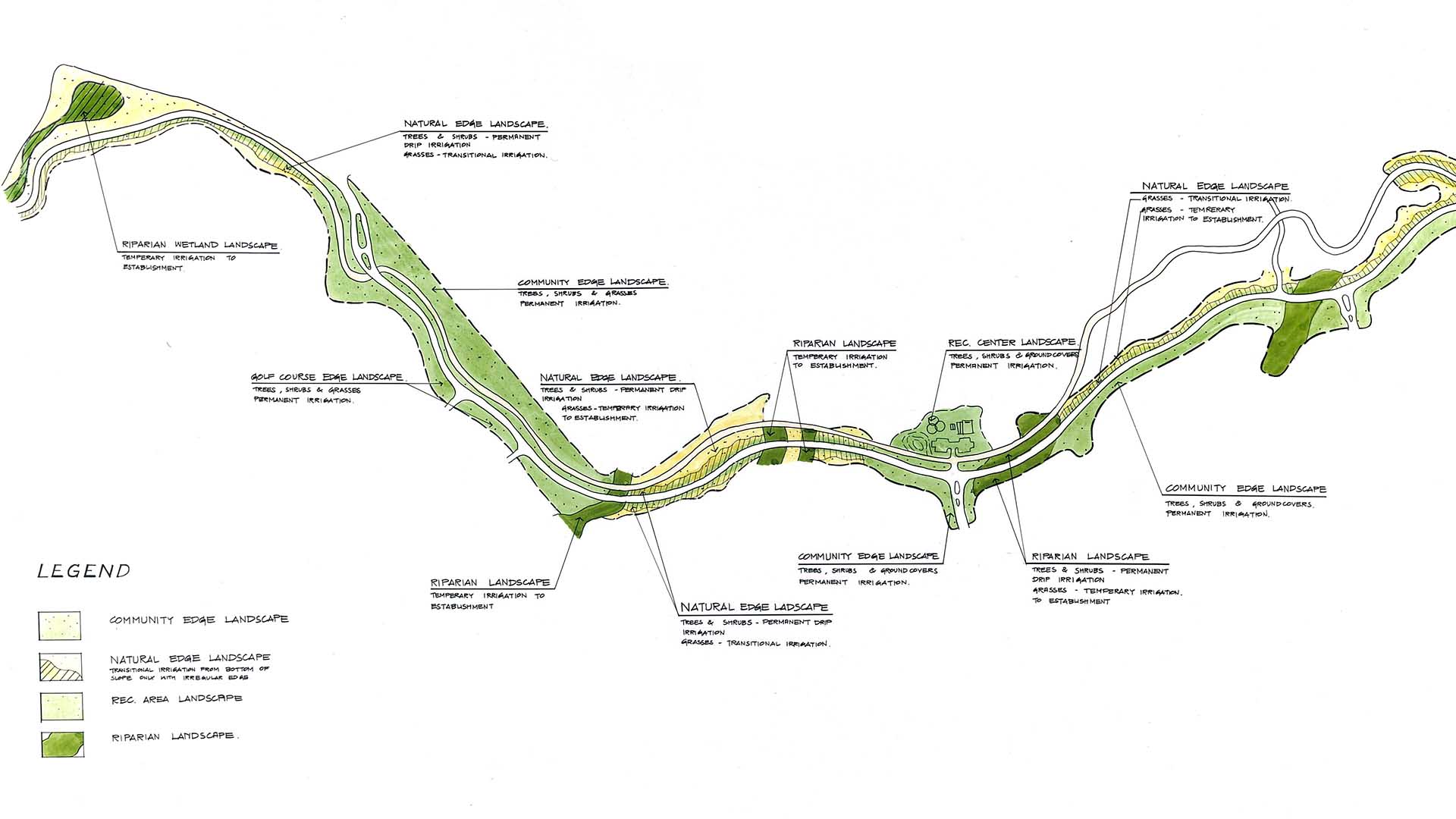
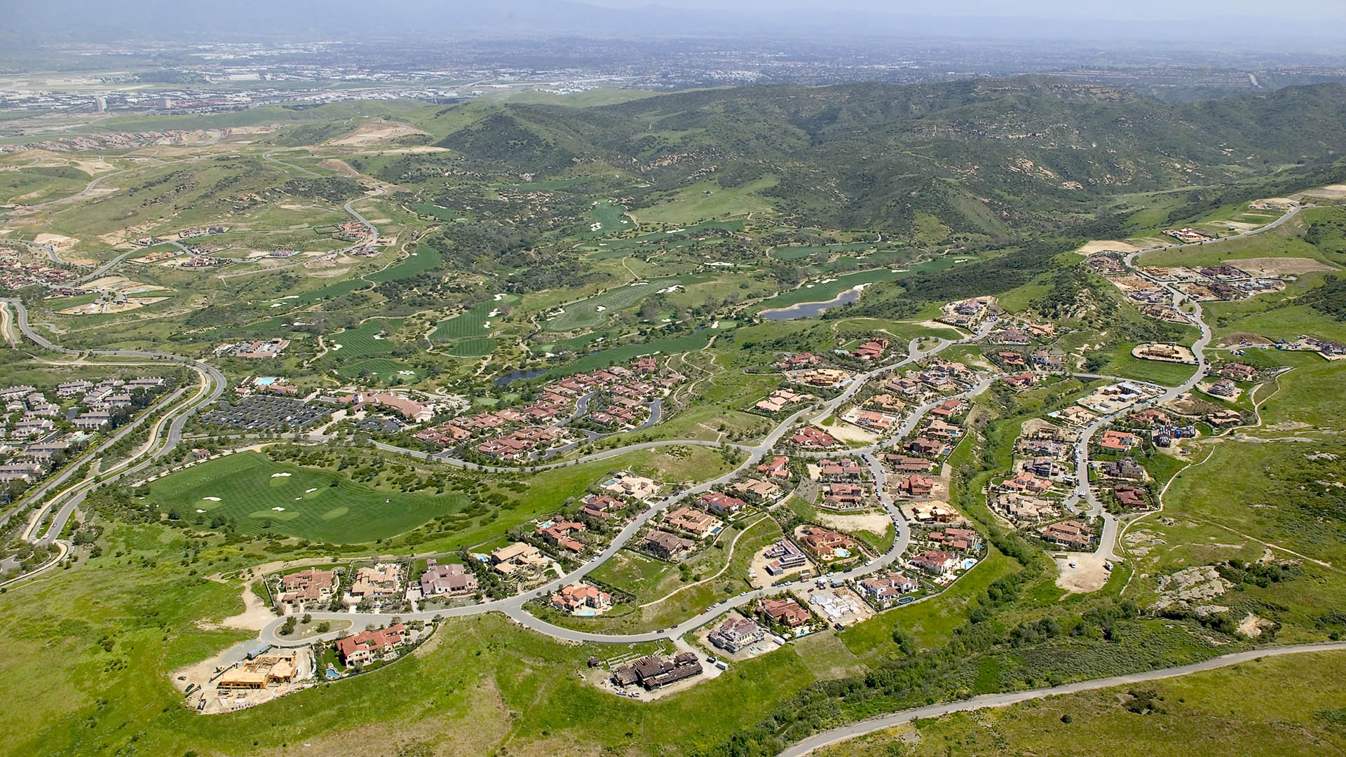
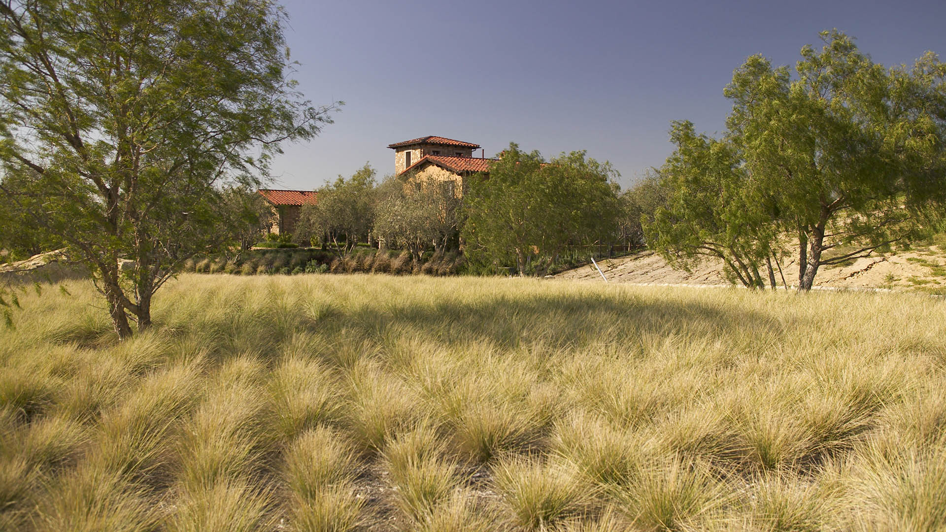
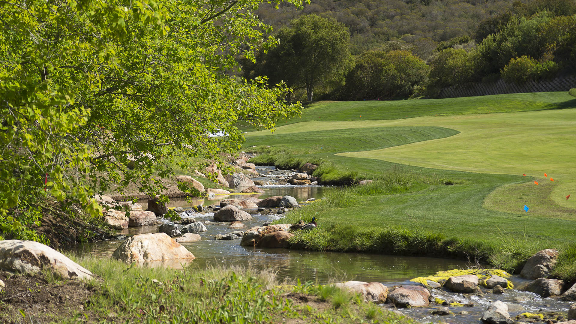
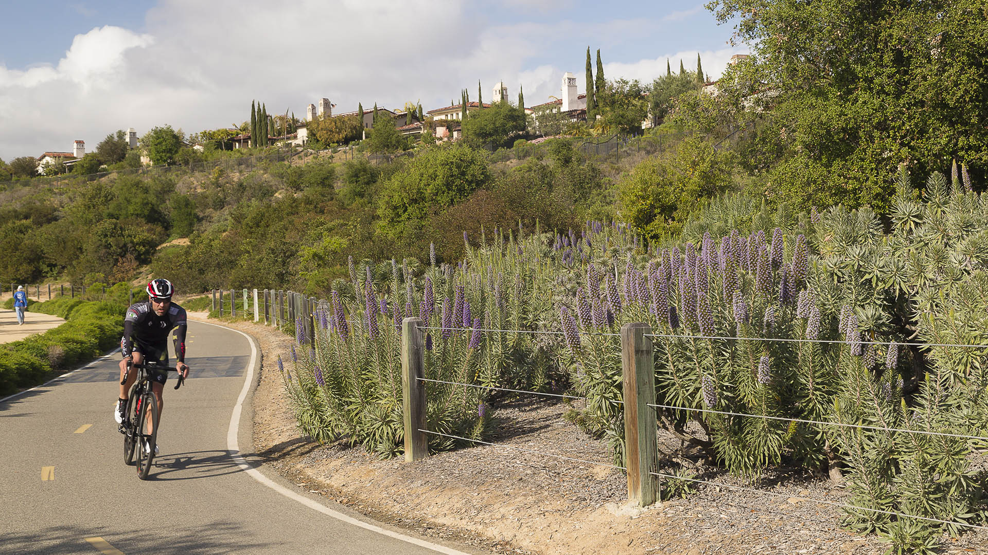
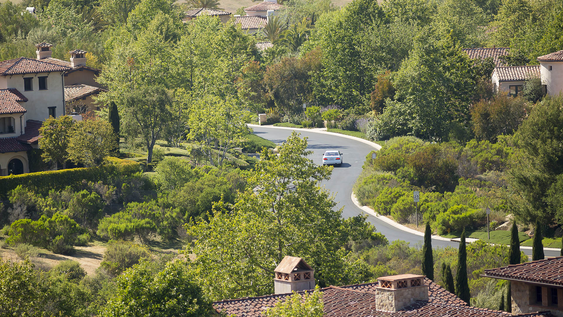
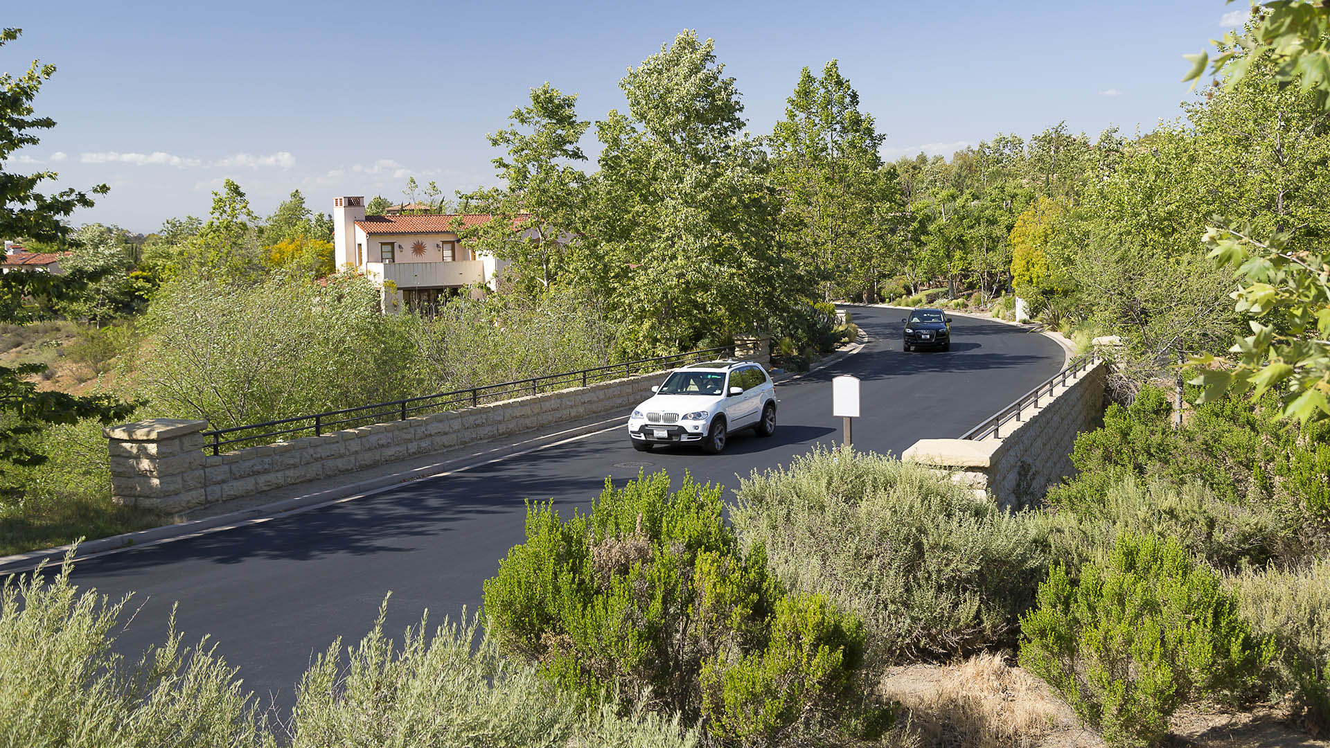
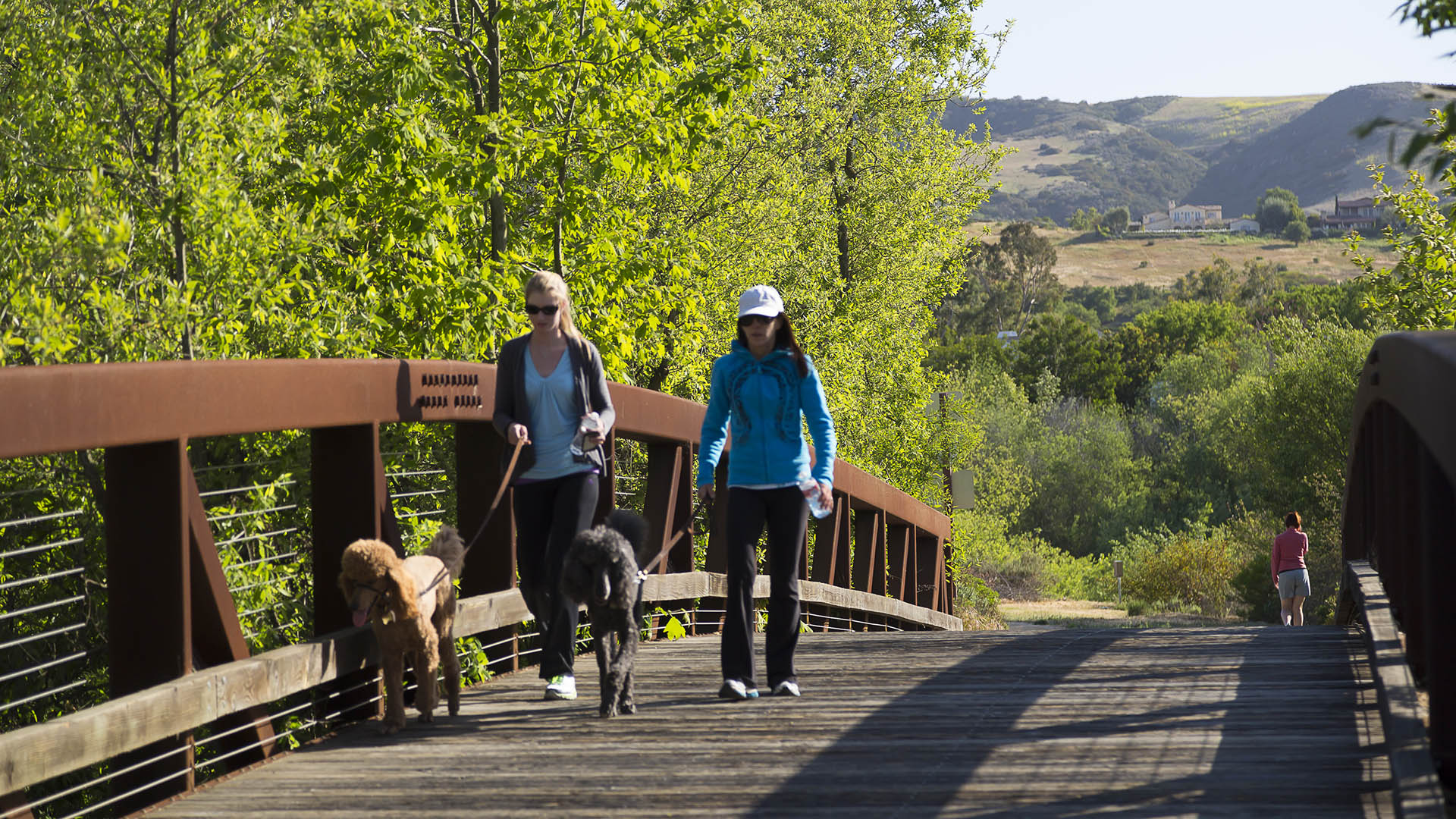
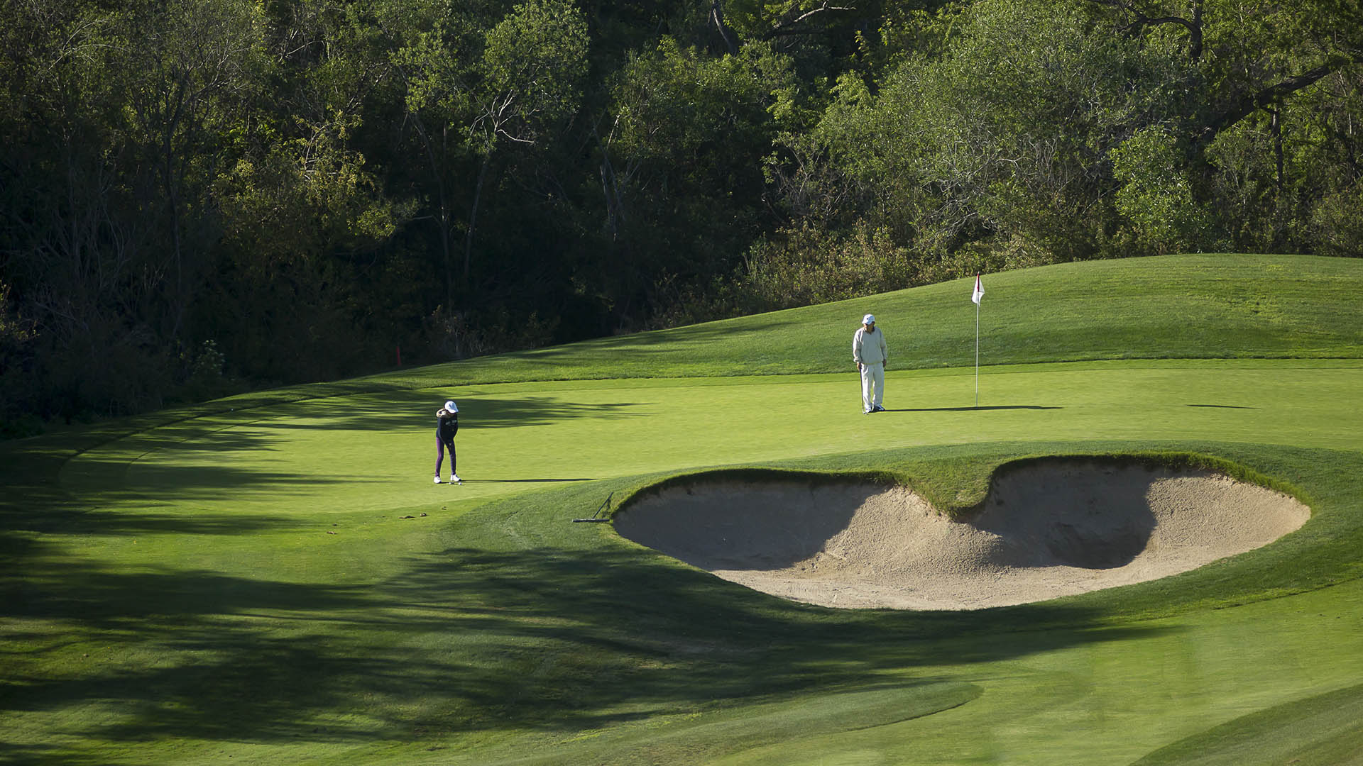
Shady Canyon is a 1,070-acre residential community and land preservation project in the heart of bustling, master-planned Orange County. The project carefully integrates the natural environment into every aspect of the community which consists of 400 custom and builder homes, a golf course that preserves important biological resources, swim center, recreation center, and a three-mile regional trail. SWA served as the master planner, site planner, and landscape architect for the majority of the project, resulting in a high level of quality and harmony with the surrounding environment. From the beginning of this multi-year project, SWA’s concept was to minimize grading, work with the site’s natural topography, and preserve the rustic, unspoiled character of beautiful coastal California canyons, ephemeral creeks, and gentle ridgelines. The Client worked closely with nonprofit environmental organizations and local, state, and federal agencies to take a broad-based approach to protect and perpetuate biological diversity. The landscape architects’ extensive site analysis and field work ensured that the goal of preservation was carried into all areas of the project by using native plants, hydro-seeding extensive areas of native grasses and coastal sage scrub, preserving significant rock outcroppings, and respecting unique landforms. A sensitive grading approach and careful road alignments were key to the project’s success. All roads were sited to avoid rock outcroppings and significant vegetation not in official preserve areas. Narrow roads required special conditions from government agencies. To retain the rustic feel the curbs are rolled, streetlights are only at the few intersections, (which is also good for habitat movement) and there are no sidewalks. Because the project is in a high fire hazard area and subject to restrictions by the fire authority a challenge was to blend the landscape with the adjacent plant material while eliminating plants with high-fuel volumes. Three types of landscapes around the edge of the project respond to adjacent indigenous plant material. The landscape architects mapped the native plant zones and matched the disturbed area to the native area to create a seamless landscape. Only native oaks, toyons and sumac where used on the edges. Working hand and hand with the project architect SWA created design guidelines for the custom homeowners whereby houses are meant to take their inspiration from the landscape, resulting in a long, low profile to suit the gently rolling terrain. Each home site was studied for the best orientation, relationship to its neighbor, and building profile. A restrictive, more native and drought-tolerant plant palette was set up for homeowners – which in southern California is very unusual as a wide range of plants can grow with irrigation.
Magee Ranch
The project site is a beautiful 540-acre hillside ranch in suburban Contra Costa County, California. It was slated for development by the City of Danville as a clustered planned community. The development concept was to preserve the essential beauty of the ranch and to allow some 300 homes to be built with the least possible impact. The City’s Planning C...
Santaluz
This planned community 30 minutes north of San Diego is a testament to the collaboration of a visionary client, talented land planner, and creative designers and marketers. Set gracefully on its rolling site and preserving over half its acreage as open space, Santaluz is both a model of environmental planning and a financial success, out-performing all its loc...
Quail Hill
This mixed-use planned community of over 6,000 people features over 2,000 dwellings in a broad mix of single family detached dwellings, and over 500 multifamily dwellings, complemented by a retail center and 800,000 square feet of flexible development. . Prominent natural landforms such as the Southern Ridge and the three knolls have been preserved and incorpo...
Dongguan Delta City
The Dongguan District is located at Binhai Bay in China’s Pearl River Delta, strategically situated between Shenzhen’s airport and the city of Guangzhou. An international competition asked for ways to capitalize on the heavy flow of traffic between them while also addressing extreme environmental risks: the World Bank ranks the Pearl River Delta at the top of ...


