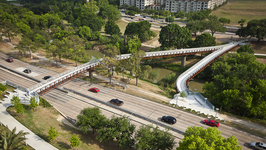
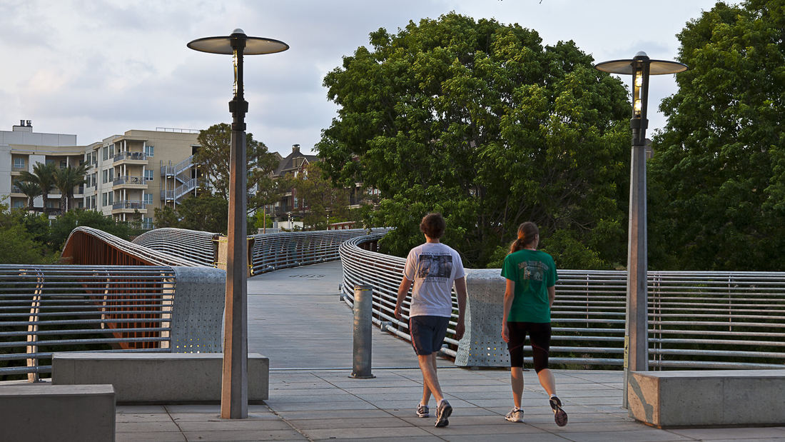
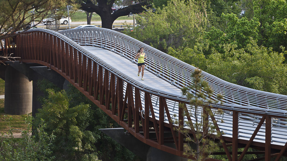
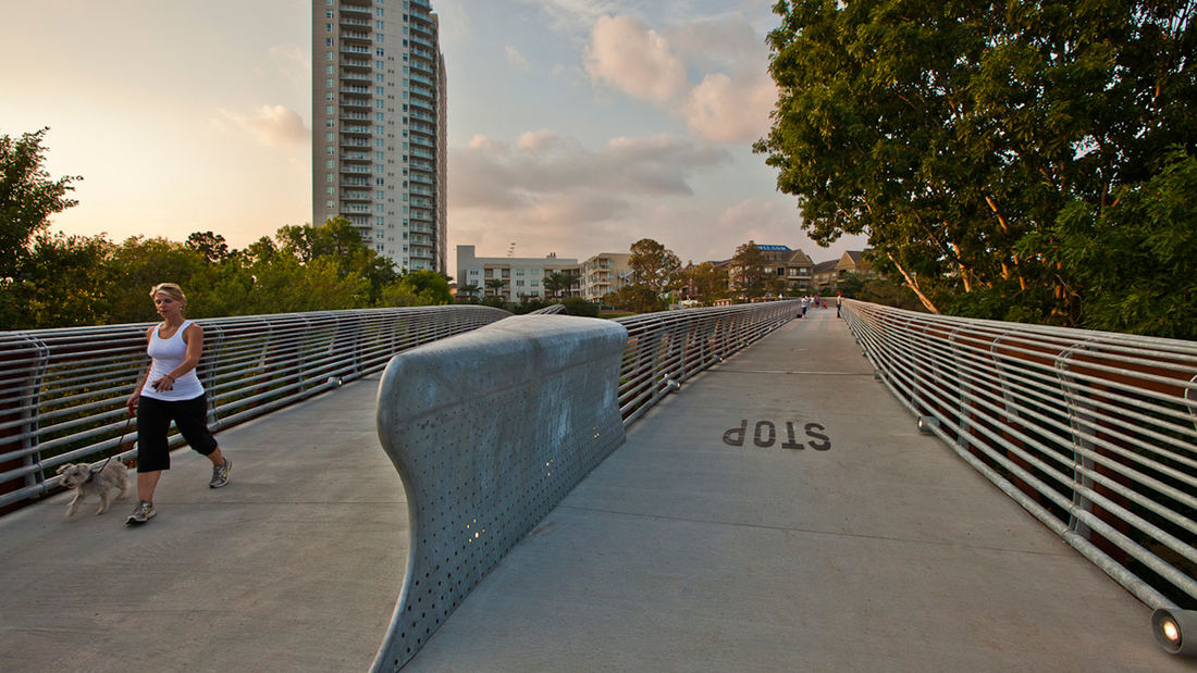
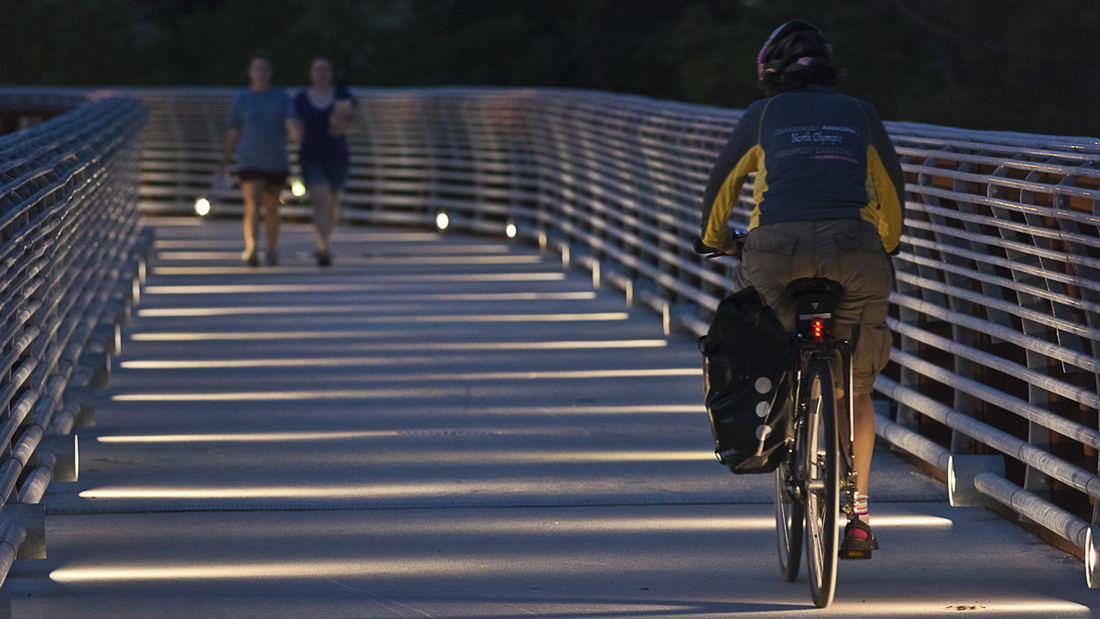
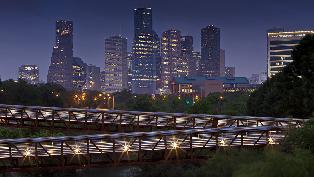
The Rosemont Bridge and connecting trails layer pedestrian infrastructure onto the Buffalo Bayou corridor in Houston, Texas and is a significant step in realizing the larger vision of a more accessible Houston. Running through downtown Houston, Buffalo Bayou is one of the significant natural bayou corridors in the City, but is cut off from adjacent neighborhoods by expressways and major thoroughfares. The goal of the project is to connect neighborhoods north and south of the corridor to the bayou and along the bayou itself. Using existing topography to leap across the roadways, sinuous ramps provides accessibility as well as tree-top views of Buffalo Bayou and downtown. The design links both sides of the bayou with the street grids on either side of Allen Parkway and Memorial Drive, providing access to the 200-acre Buffalo Bayou green space. The bridge draws visitors out over the bayou along a continuous ramped surface that meets ADA requirements for universal accessibility. This creates a subtle, elegant pathway that allows the visitor to experience the bayou from differing points of view. The 3.6576-meter wide bridge is supported along its 239-meter length by a weathering steel truss that supports the concrete deck. The bridge deck is discretely lit with LED light fixtures that are integrated into the guardrail system of the bridge allowing access and safe use after dark. The bridge and trails have become a favorite destination for pedestrians and bicyclists and an iconic photo opportunity for images of downtown Houston.
Katy Trail
Katy Trail represents a remarkable resource for the residents of the Dallas Fort Worth region. This project enlivens and makes accessible right-of-way established by the storied, but later abandoned, Missouri-Kansas-Texas (better known as the “Katy”) line, and serves as a unifying element for the surrounding neighborhoods. Katy Trail provides appro...
Buffalo Bayou Smith to Travis Streets Trail Segment
This effort in Downtown Houston extends the Buffalo Bayou trail system eastward with the Smith to Travis Trail, connecting two historically significant sites: Sesquicentennial Park and Allen’s Landing, where the city was founded. It is a technically challenging segment located twenty feet below street level that traverses under multiple roadway bridges crossin...
Houston Green Loop
With the coming expansion and realignment of the highways around Downtown Houston, SWA identified the opportunity to enact a bold vision: a multi-use branded connectivity system that will leverage the immense reconstruction investment. SWA’s concept creates a continuous pedestrian loop over, under, and around the downtown highway system, thus redirecting the u...
Longgang River Blueway System
The Shenzhen Longgang River Blueway System is envisioned to unlock the tremendous land value of this 13-mile-long suburban watershed and galvanize the city’s future growth. SWA’s proposal addresses urbanization issues pertaining to water, the environment, and open space shortage, while also activating industrial and cultural revitalization in the surrounding d...


