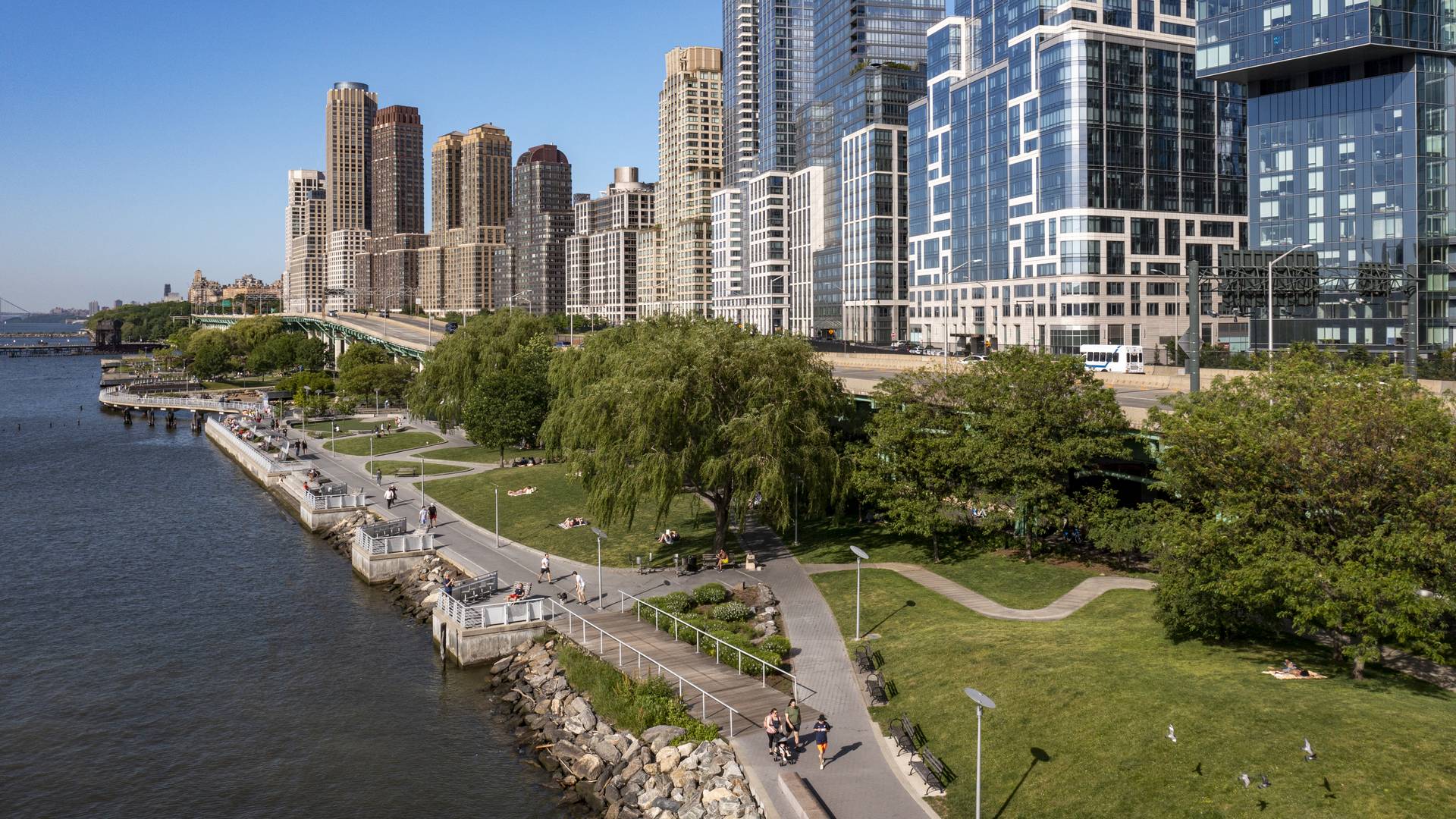
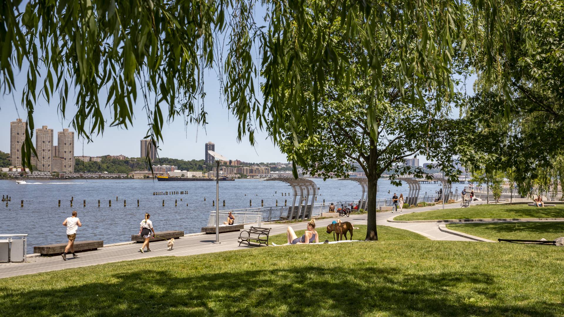
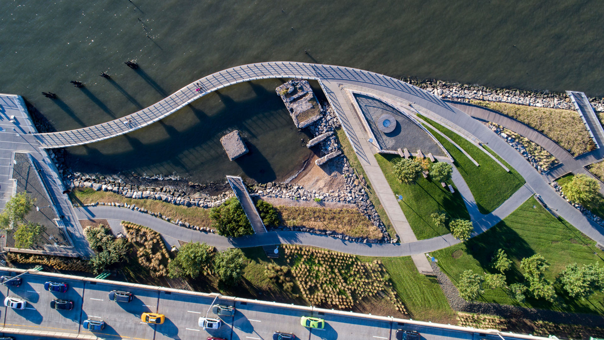
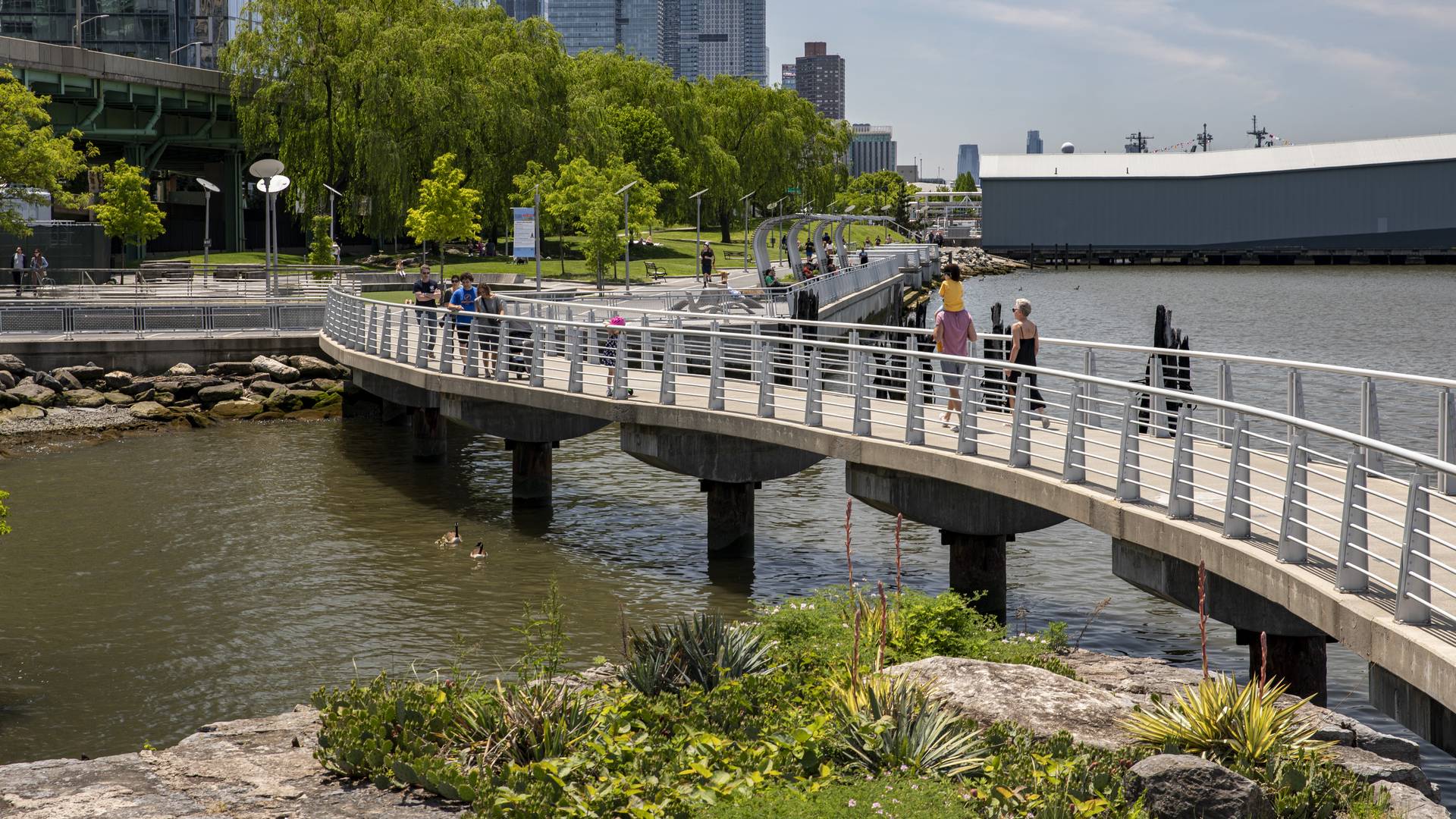
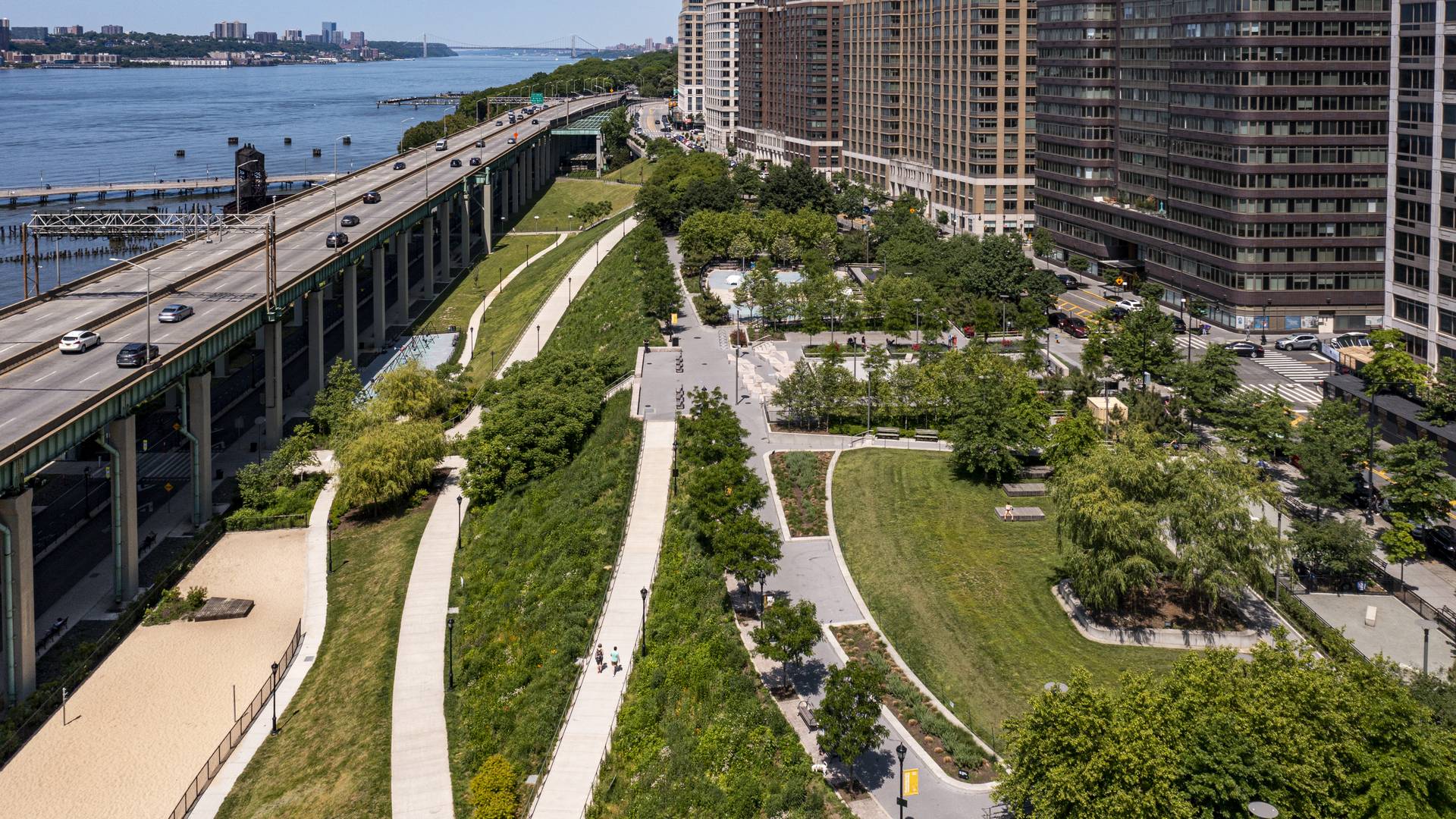
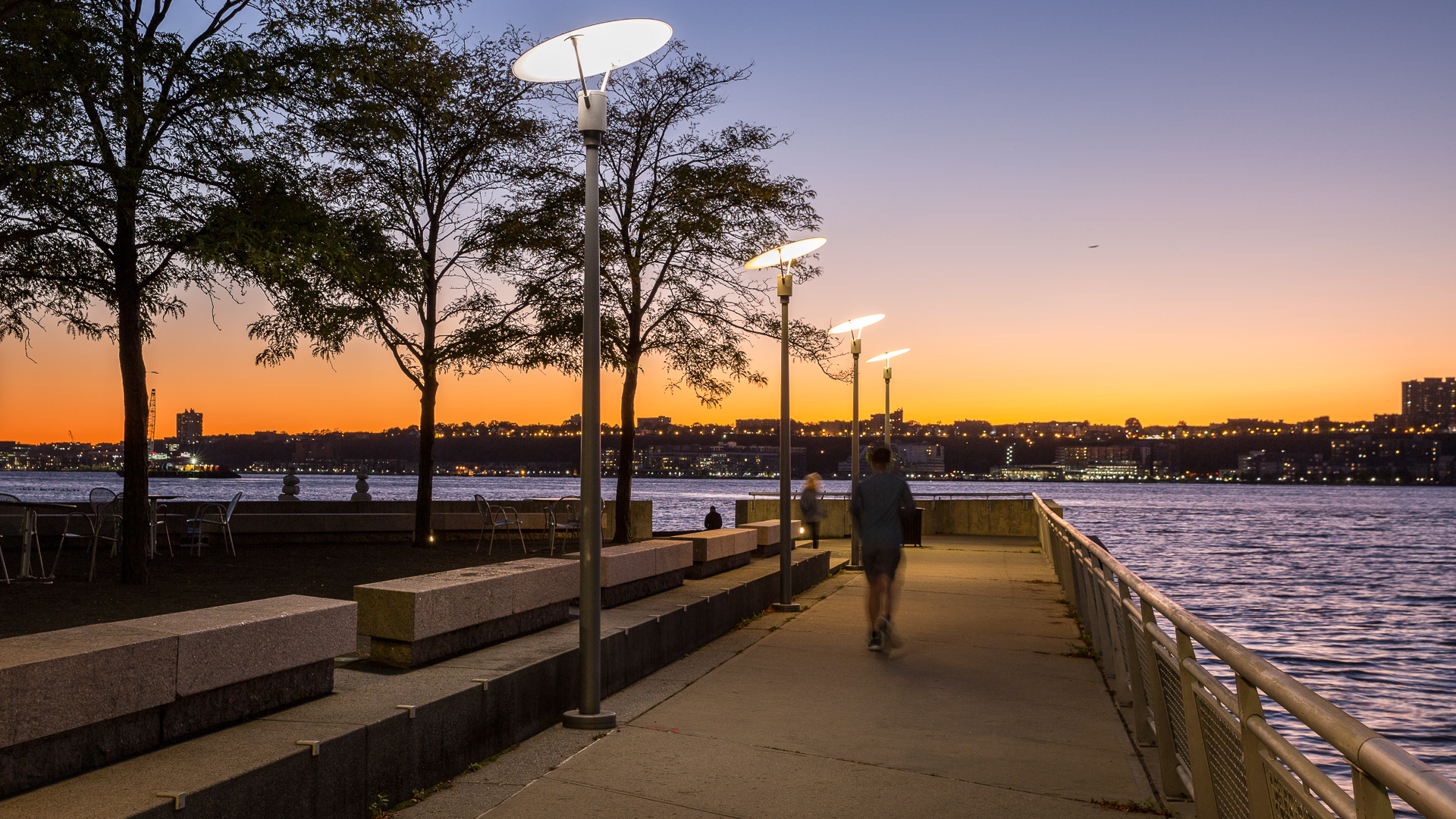
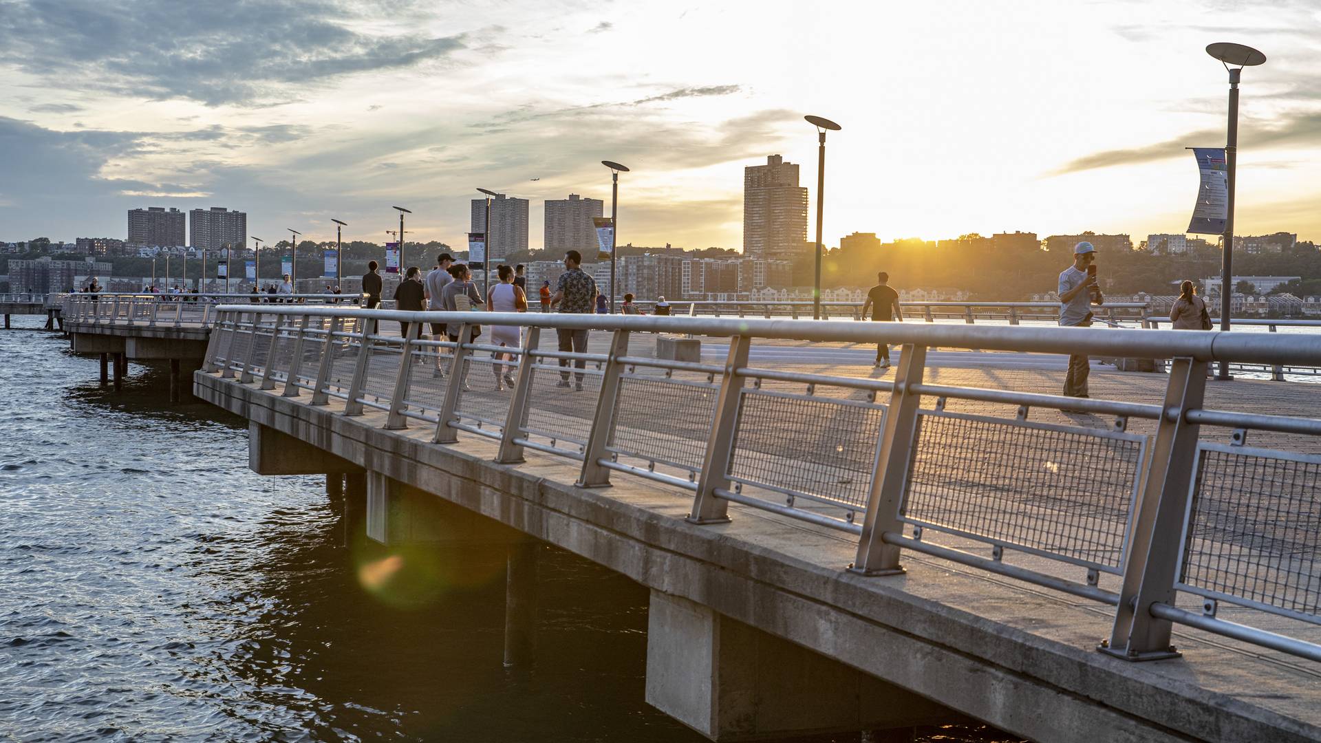
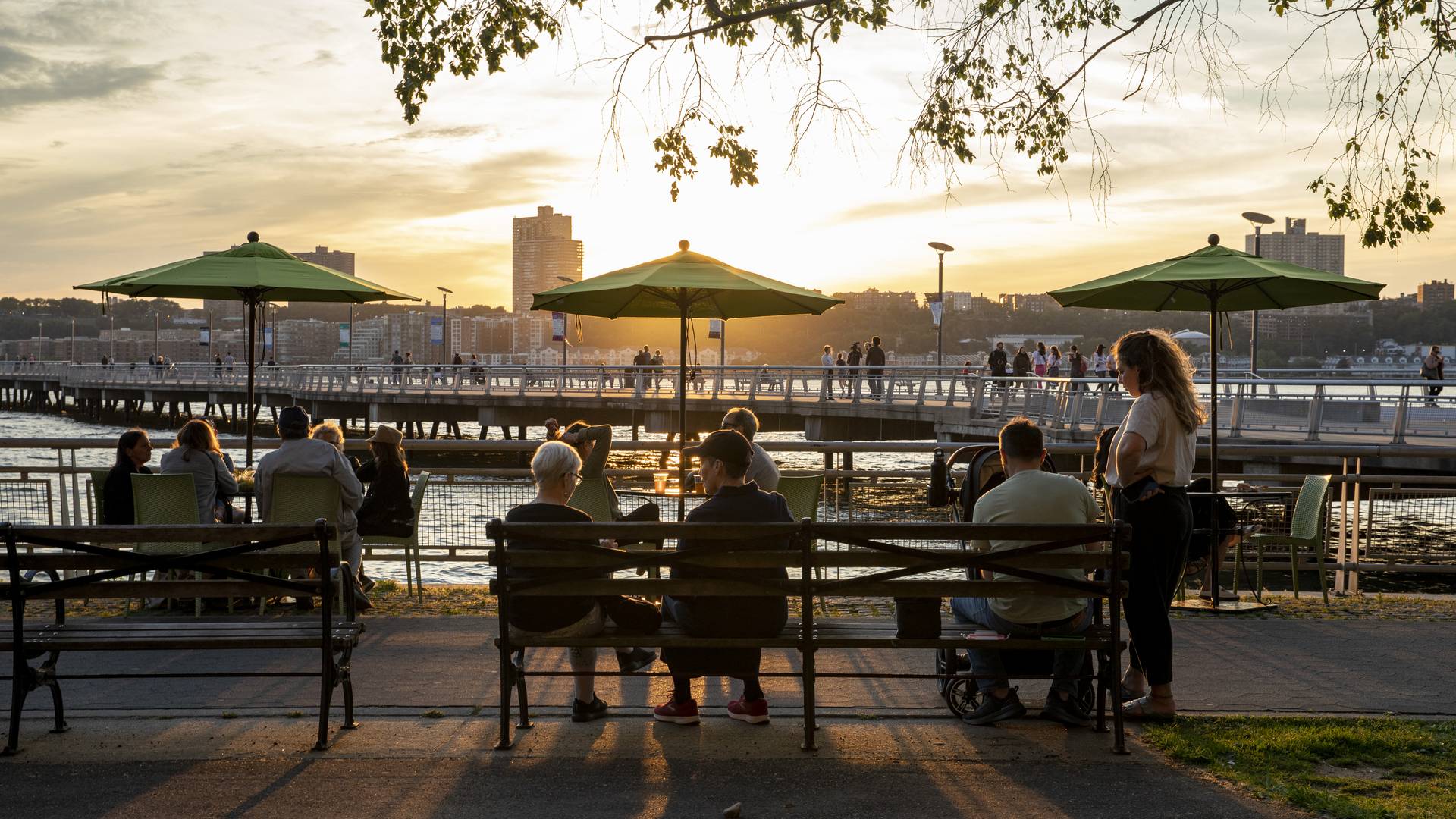
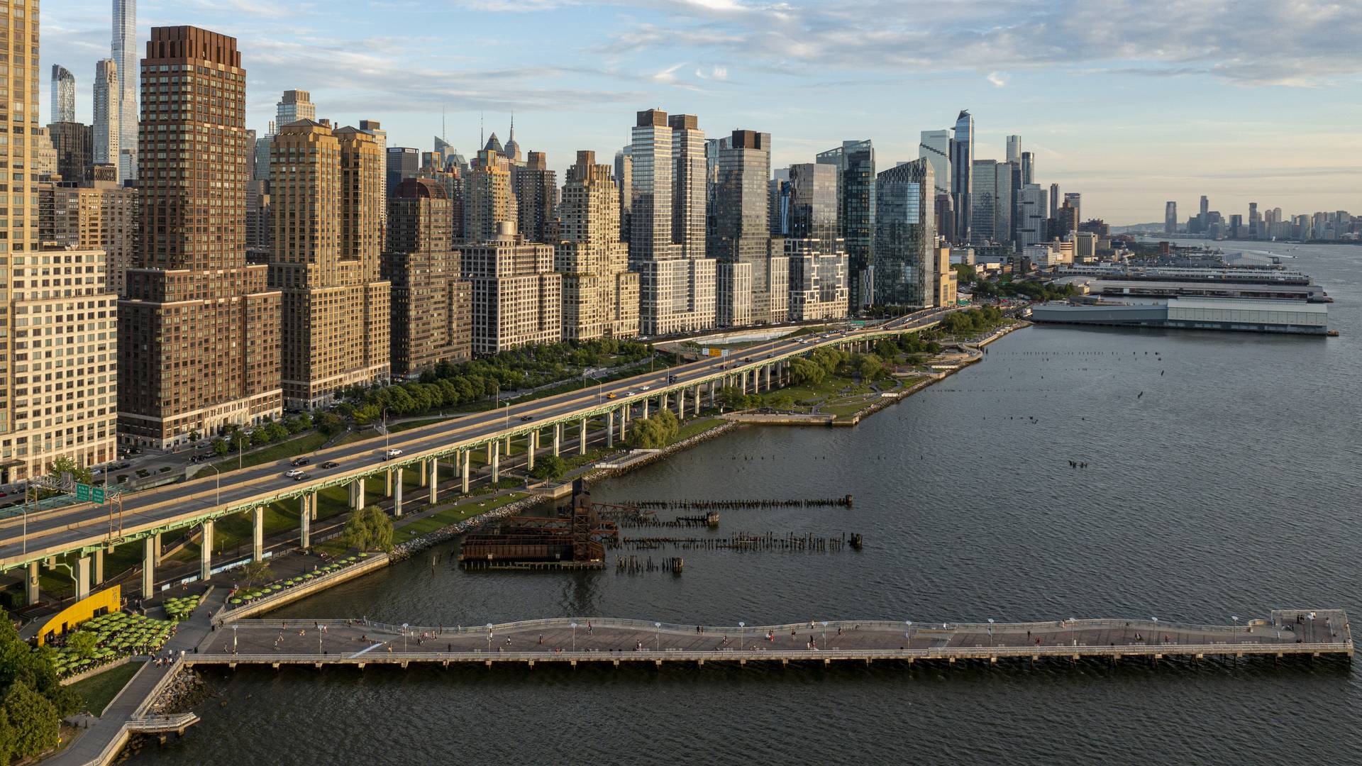
“[Riverside Park South] is a massive, multi-phase project of sweeping ambition and historic scope. Combining new greenspace, new infrastructure, and the renovation of landmark industrial buildings, the ….bold scheme calls for the elevated Miller Highway, long a barrier between the city and its waterfront, to be dropped to grade and covered with a park, affording unimpeded access from upland neighborhoods to their riverfront.
– Damian Holmes, World Landscape Architect
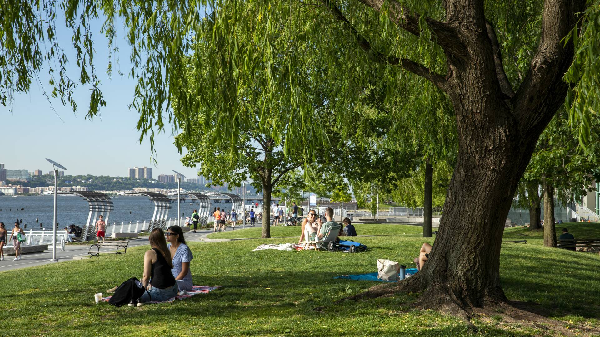
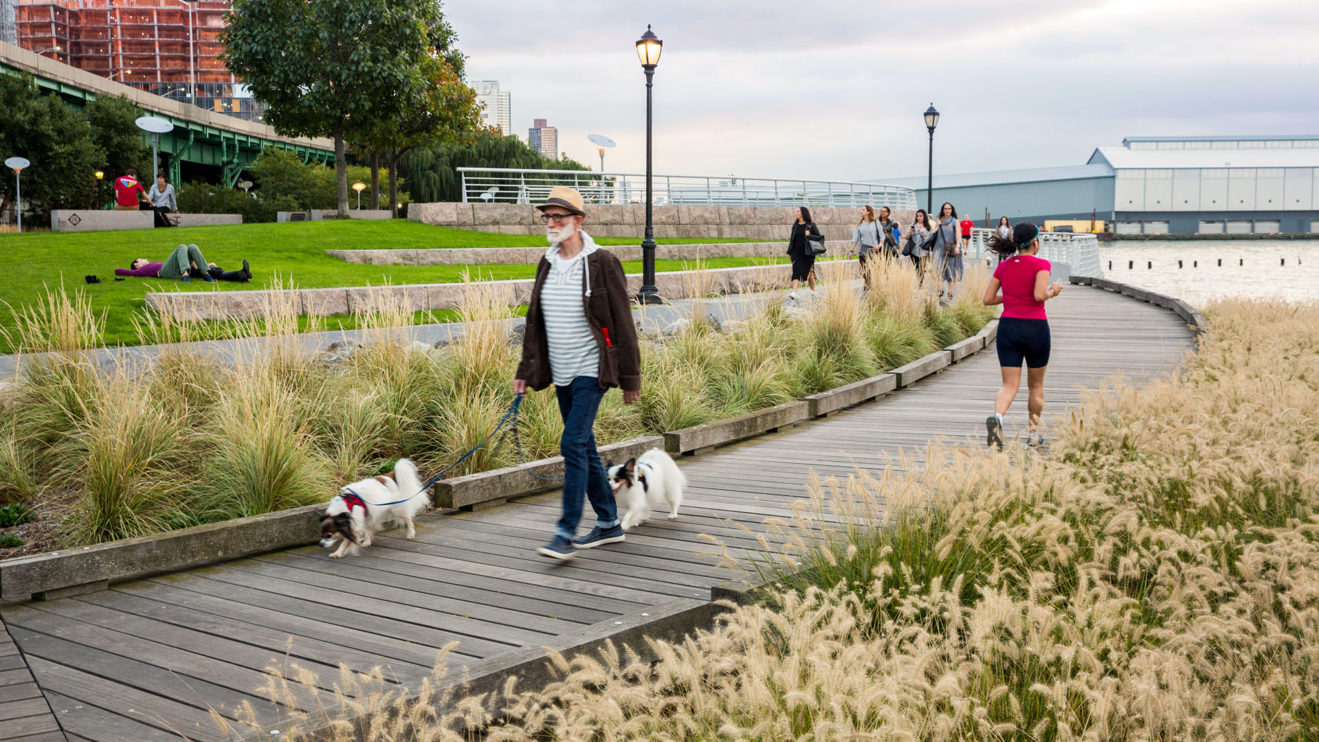
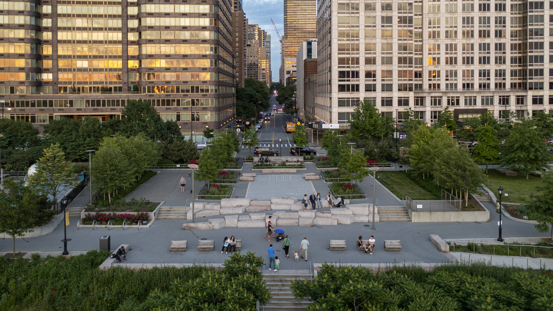
Located on the West Side of Manhattan on the scenic Hudson River shoreline, Riverside Park South is a massive, multiphase project of sweeping ambition and historic scope. Combining new green space, new infrastructure, and the renovation of landmark industrial buildings, the plan – originally devised by Thomas Balsley Associates in 1991 – is an extension of Frederick Law Olmsted’s famed Riverside Park, carrying it a further 13 blocks beyond its traditional southern boundary. At the same time, the scheme calls for the elevated Miller Highway (long a barrier between the city and its waterfront) to be replaced by an underground tunnel topped by lawns and surface streets, affording unimpeded access from new high-rise apartment buildings and upland neighborhoods to the parks and paths along the river.
Fort Wayne Riverfront
As a city that was built and thrived because of its location as a crossroads between wilderness and city, farm and market, the realities of infrastructure both natural and man-made are at the heart of Fort Wayne’s history. We consider waterways as an integral part of open spaces of the City, forming a series of infrastructural systems that affect the dynamics ...
Ricardo Lara Park
Ricardo Lara Park is a vibrant city park and a case study in landscape infrastructure. It demonstrates how a small investment and creative thinking about landscape can transform the very infrastructure that has long divided and isolated a community into an amenity that unites it, offering much-needed environmental and recreational benefits.
Here, more ...
Wuhan East Lake Greenway
PHASE 1: Wuhan, known as the land of one thousand lakes, is one of the most ancient cities in China, and is the third largest technological and education center in China, only behind Beijing and Shanghai. Now home to over 8 million people, Wuhan has become the dominant transportation hub in Central China and holds the distinguished role of capital of Huebei Pr...
Moji Mountain Park Master Plan
Moji Mountain, one of the most distinctive symbols of Yichang, now boasts the city’s largest public open space. The 120-hectare park is located along the banks of the Yangtze River, and has a rich historical connection to both the river and the city. De-forested in the past for agricultural uses, the mountain’s slopes have been replanted and now support a new ...


