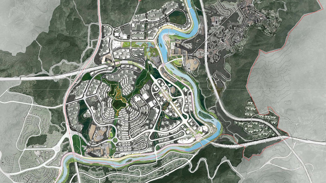
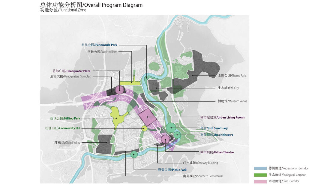
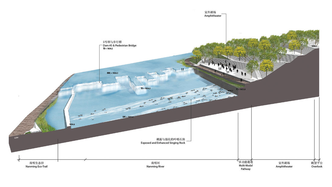
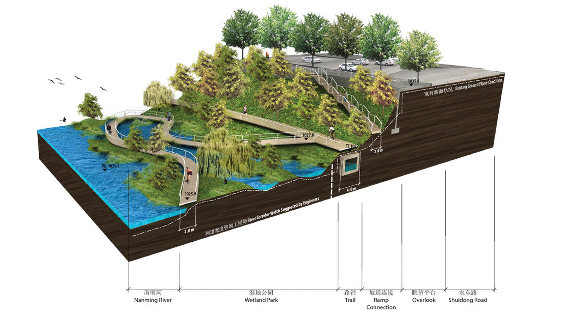
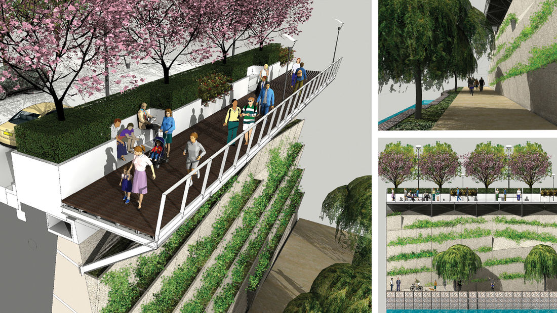
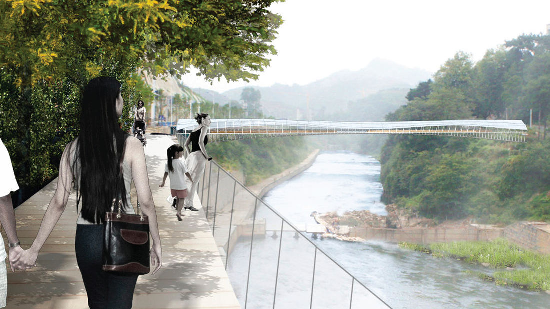
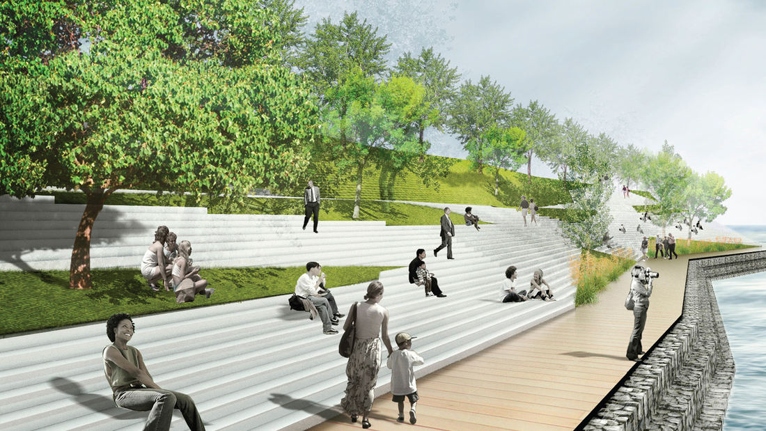
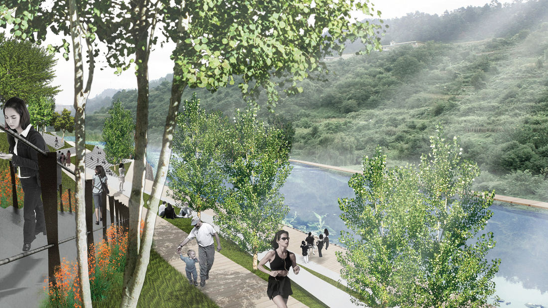
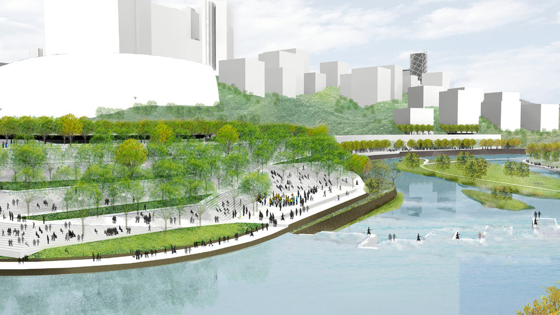
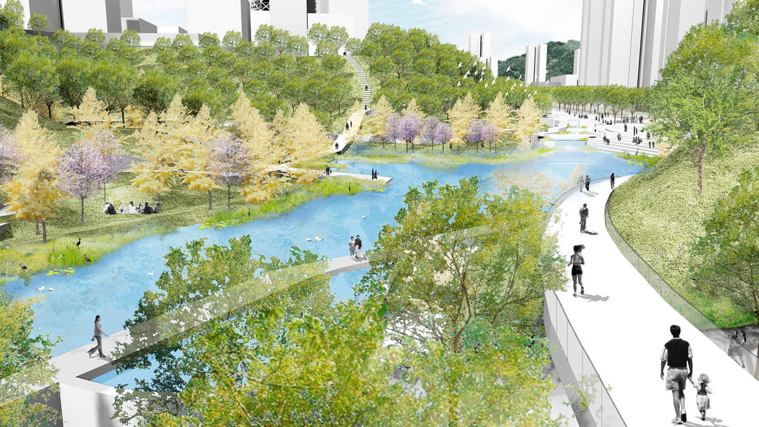
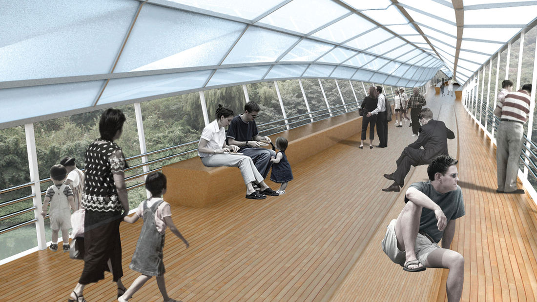
Guiyang Hot Springs, located in Guiyang City, China, brings together the rhythm of the Nanming River, and surrounding trails and trees to create a new urban ‘living room’ in the interstitial space created by new development and roadway infrastructure. Nestled into a mountainous site, the master planning addressed elevation changes of up to 100 meters and the existing relationship of its topography and watersheds connected with the river. The vision incorporated a strategy to preserve ecological corridors while allowing for future development and tourism. The Phase 1 design uses the natural landscape framework and pathways along the river valley to guide a new circulation artery and community parks, emulating the concept of a flowering river. Linear terraces for green corridors reveal expansive views, while harboring varying habitats and facilitating ecological growth without extensive intervention. The subtle manipulation of the land creates seasonal creeks which change dynamically and reinforce the ecological and environmental habitat. The circulation network is accessible to pedestrians, bicycles, cars and boats, forming a major transportation system along the ten-mile river. Based on the rhythms of movement, water and trees, the design for Guiyang Hot Springs provides a natural respite within an urban environment that gives a corridor of community space to the people of Guiyang.
Moji Mountain Park Master Plan
Moji Mountain, one of the most distinctive symbols of Yichang, now boasts the city’s largest public open space. The 120-hectare park is located along the banks of the Yangtze River, and has a rich historical connection to both the river and the city. De-forested in the past for agricultural uses, the mountain’s slopes have been replanted and now support a new ...
Katy Trail
Katy Trail represents a remarkable resource for the residents of the Dallas Fort Worth region. This project enlivens and makes accessible right-of-way established by the storied, but later abandoned, Missouri-Kansas-Texas (better known as the “Katy”) line, and serves as a unifying element for the surrounding neighborhoods. Katy Trail provides appro...
Dave Thomas Circle
One of the most dangerous intersections at the gateway into downtown Washington DC was targeted for significant improvement. Prompted by the demolition of a Wendy’s restaurant and new road alignments to ease traffic congestion, SWA/Balsley was hired to create a memorable new gateway experience and usable, inviting parks in the newly acquired public land. The t...
Bayou Greenways
While Houston does have significant park spaces and trails, the city of no zoning has historically been unable to create enough designated open spaces and the necessary connectivity between them. The key to increasing the open space network lies within the region’s floodplains. Relatively flat terrain, intense rain events, and urbanized watersheds create broad...


