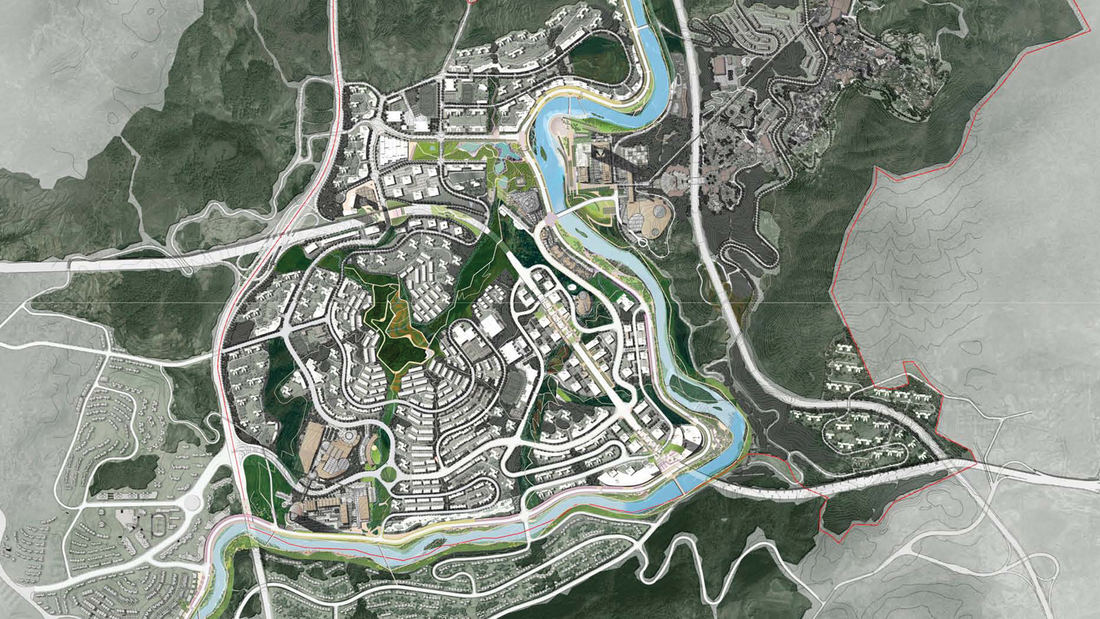
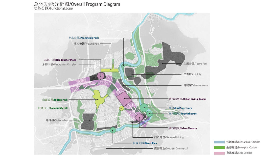
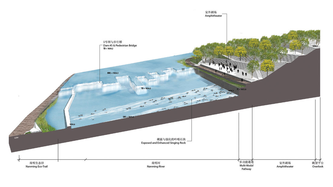
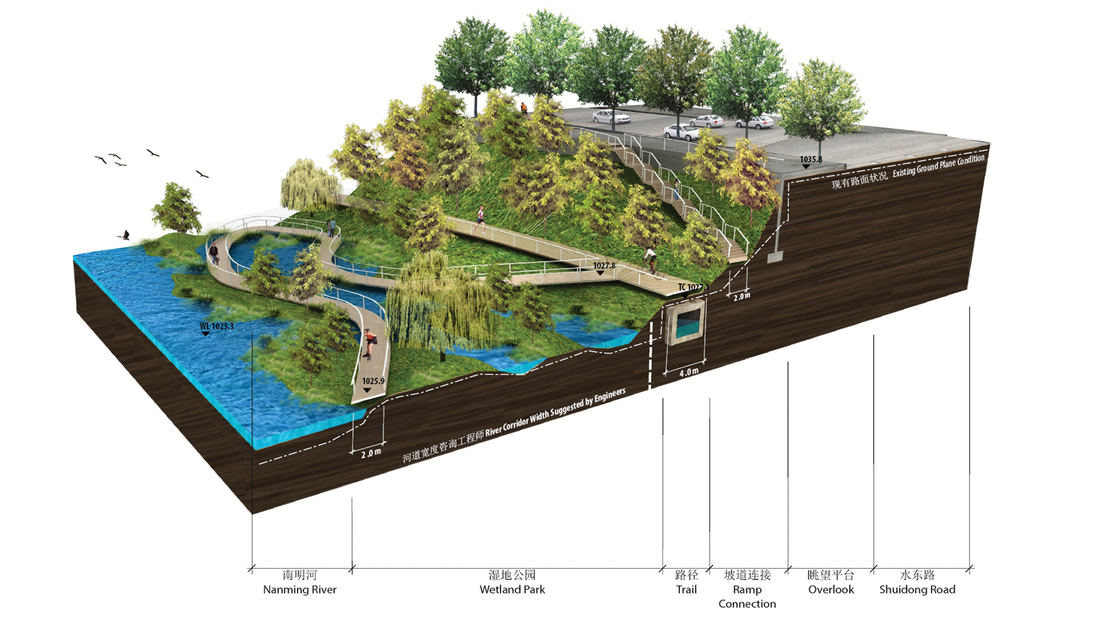
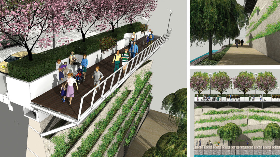
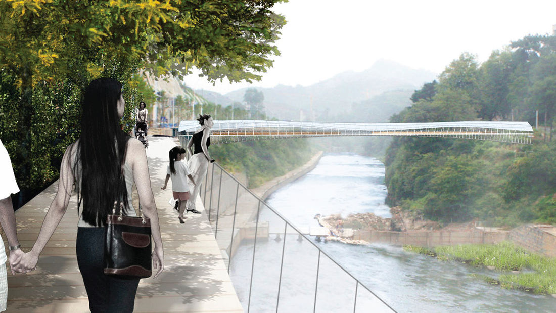
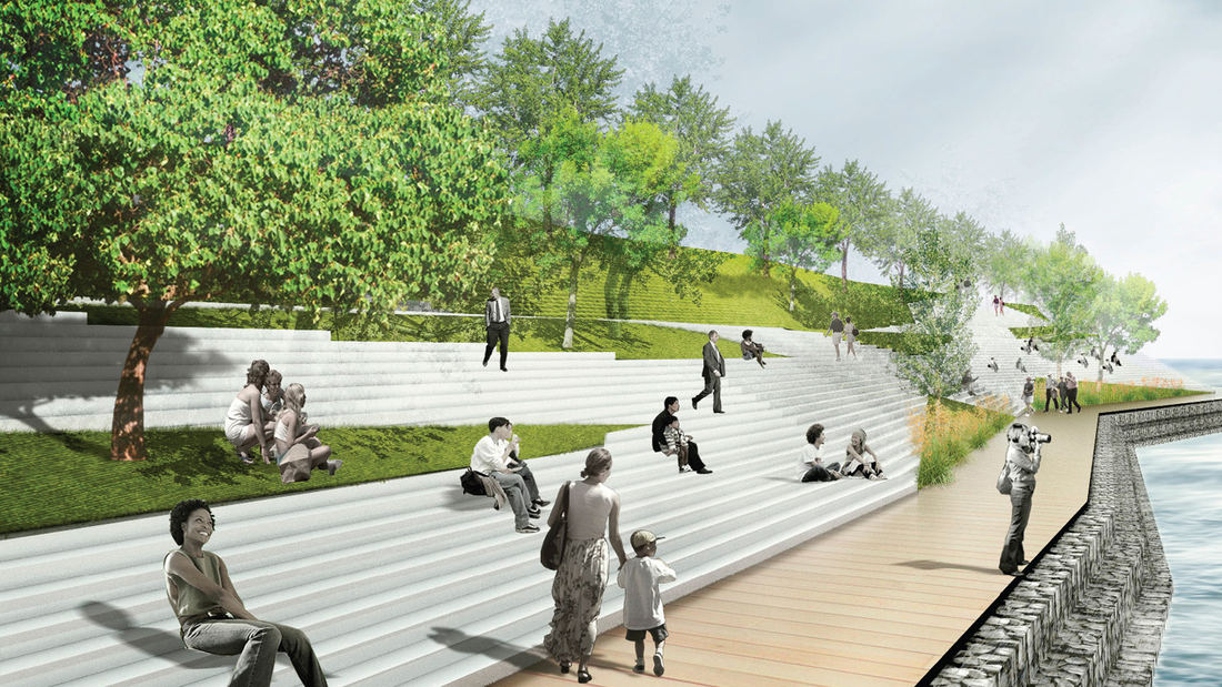
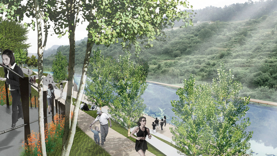
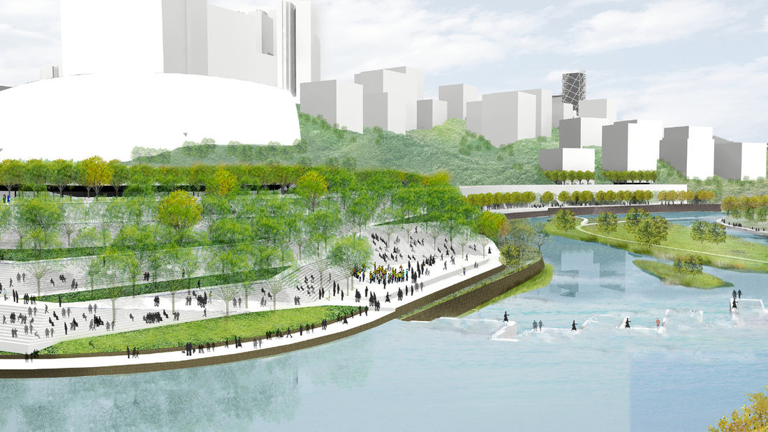
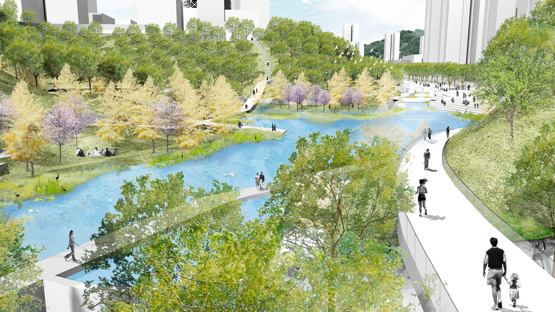
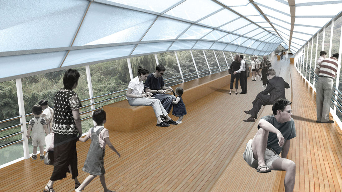
Guiyang Hot Springs, located in Guiyang City, China, brings together the rhythm of the Nanming River, and surrounding trails and trees to create a new urban ‘living room’ in the interstitial space created by new development and roadway infrastructure. Nestled into a mountainous site, the master planning addressed elevation changes of up to 100 meters and the existing relationship of its topography and watersheds connected with the river. The vision incorporated a strategy to preserve ecological corridors while allowing for future development and tourism. The Phase 1 design uses the natural landscape framework and pathways along the river valley to guide a new circulation artery and community parks, emulating the concept of a flowering river. Linear terraces for green corridors reveal expansive views, while harboring varying habitats and facilitating ecological growth without extensive intervention. The subtle manipulation of the land creates seasonal creeks which change dynamically and reinforce the ecological and environmental habitat. The circulation network is accessible to pedestrians, bicycles, cars and boats, forming a major transportation system along the ten-mile river. Based on the rhythms of movement, water and trees, the design for Guiyang Hot Springs provides a natural respite within an urban environment that gives a corridor of community space to the people of Guiyang.
Tangqiao Waterfront Park
The Tangqiao project is located along the east bank of Huangpu River in the city of Shanghai. The project consists of landscape areas in three financial-office parcels and one waterfront park parcel. The view of the site is remarkable, looking toward the landmark skyscrapers of Lujiazui Financial Center, Nanpu Bridge, the Bund, and the future Minsheng CBD.
...Ricardo Lara Park
Ricardo Lara Park is a vibrant city park and a case study in landscape infrastructure. It demonstrates how a small investment and creative thinking about landscape can transform the very infrastructure that has long divided and isolated a community into an amenity that unites it, offering much-needed environmental and recreational benefits.
Here, more ...
Katy Trail
Katy Trail represents a remarkable resource for the residents of the Dallas Fort Worth region. This project enlivens and makes accessible right-of-way established by the storied, but later abandoned, Missouri-Kansas-Texas (better known as the “Katy”) line, and serves as a unifying element for the surrounding neighborhoods. Katy Trail provides appro...
Golden Gate National Recreation Area
In the early 1970s, the National Park Service began the enormous task of creating a new national recreation area in the midst of an urban center—the San Francisco Bay Area, home to 4.5 million people at the time. Riding the wake of the environmental revolution of the late 1960s, the Park Service would need to find consensus among a wide range of constituents, ...


