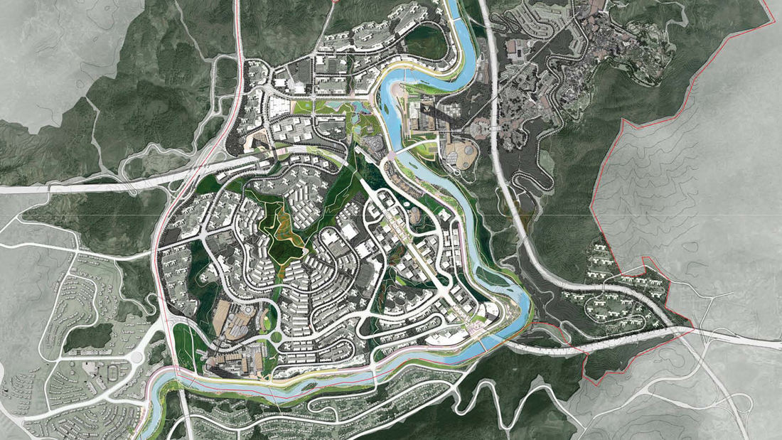
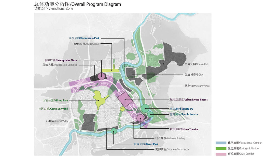
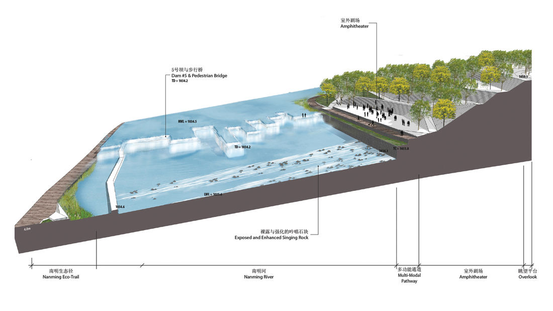
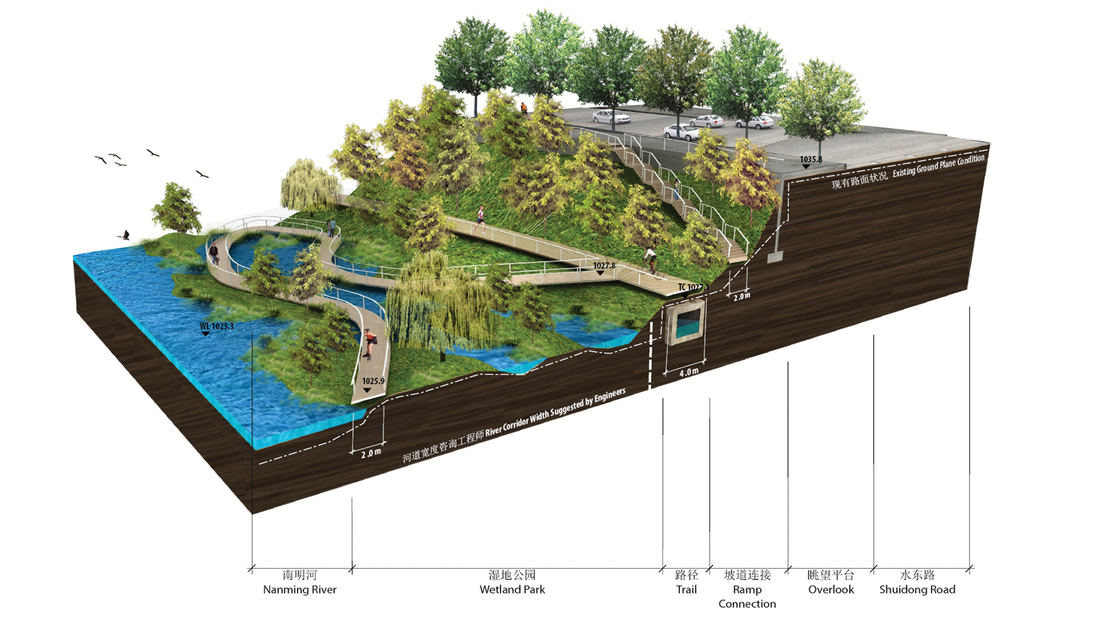
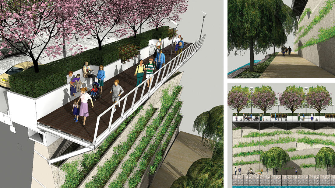
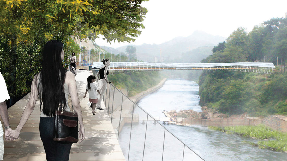
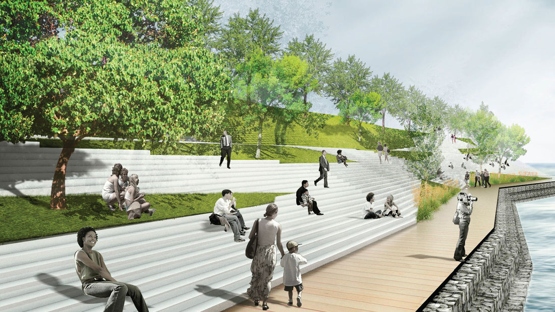
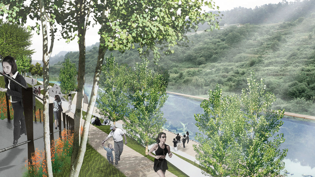
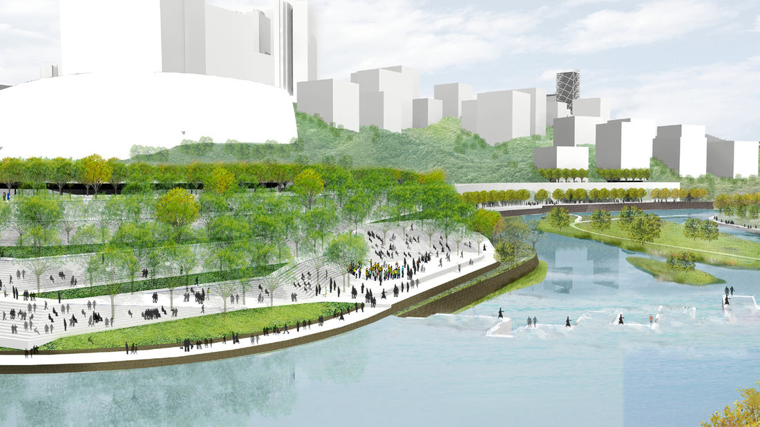
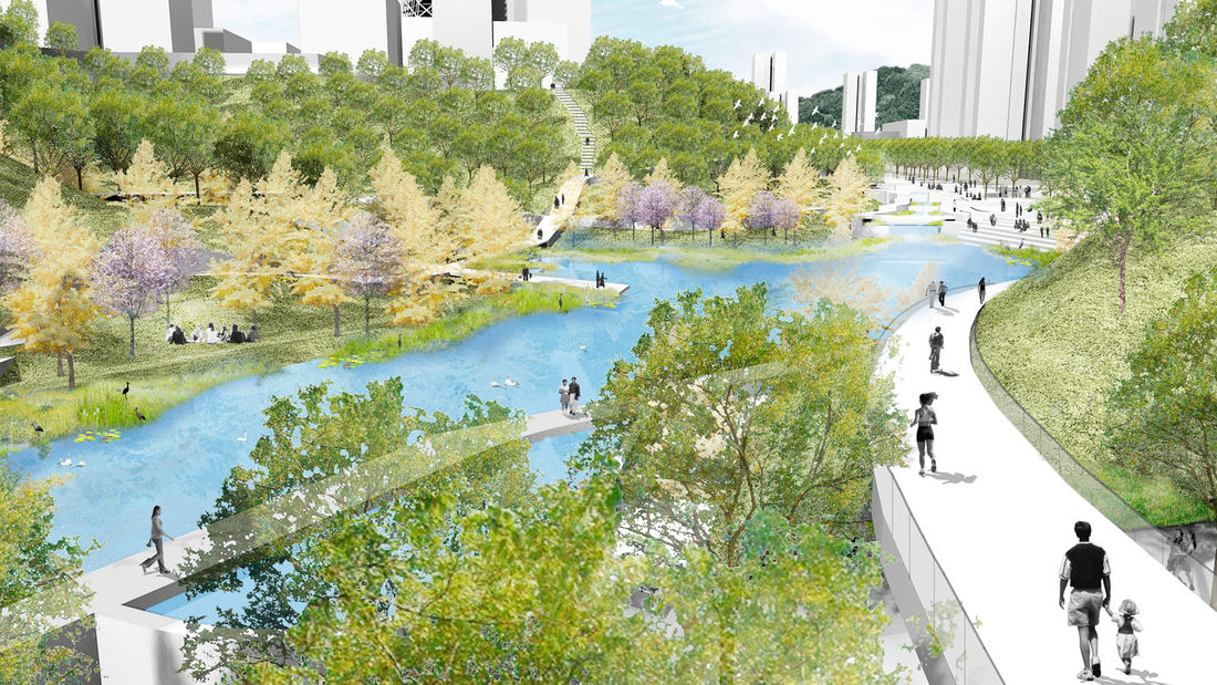
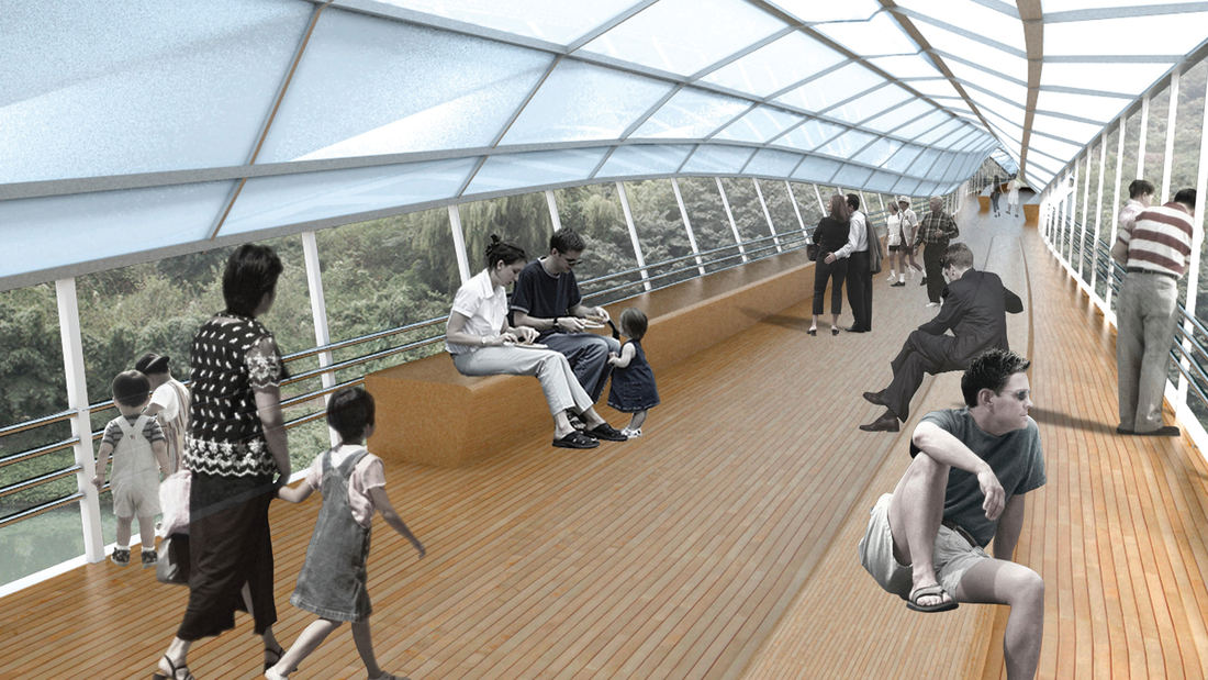
Guiyang Hot Springs, located in Guiyang City, China, brings together the rhythm of the Nanming River, and surrounding trails and trees to create a new urban ‘living room’ in the interstitial space created by new development and roadway infrastructure. Nestled into a mountainous site, the master planning addressed elevation changes of up to 100 meters and the existing relationship of its topography and watersheds connected with the river. The vision incorporated a strategy to preserve ecological corridors while allowing for future development and tourism. The Phase 1 design uses the natural landscape framework and pathways along the river valley to guide a new circulation artery and community parks, emulating the concept of a flowering river. Linear terraces for green corridors reveal expansive views, while harboring varying habitats and facilitating ecological growth without extensive intervention. The subtle manipulation of the land creates seasonal creeks which change dynamically and reinforce the ecological and environmental habitat. The circulation network is accessible to pedestrians, bicycles, cars and boats, forming a major transportation system along the ten-mile river. Based on the rhythms of movement, water and trees, the design for Guiyang Hot Springs provides a natural respite within an urban environment that gives a corridor of community space to the people of Guiyang.
Portsmouth Square
Portsmouth Square is the heart of San Francisco’s Chinatown: the main civic park for all community festivals and events as well as an important day-to-day outdoor living room for the community. Centered in the densest community in the United States west of the Hudson River, the park plays a critical role in the health and well-being of the local residents, ove...
Tunica River Park
In 1990 the Mississippi Legislature legalized gaming as a job and tax creation strategy. Tunica, located at the northern border of the state near Memphis, Tennessee, was the first county to adopt gaming as an economic development strategy and implemented a program of rapid growth. The first casino was completed in 1992 and eight more were opened during the nex...
Houston Green Loop
With the coming expansion and realignment of the highways around Downtown Houston, SWA identified the opportunity to enact a bold vision: a multi-use branded connectivity system that will leverage the immense reconstruction investment. SWA’s concept creates a continuous pedestrian loop over, under, and around the downtown highway system, thus redirecting the u...
Marina Central Park
What if we transformed one of L.A.’s least used freeways into one of the county’s largest urban parks—reconnecting a historically divided community and drastically expanding affordable housing in an underserved district?


