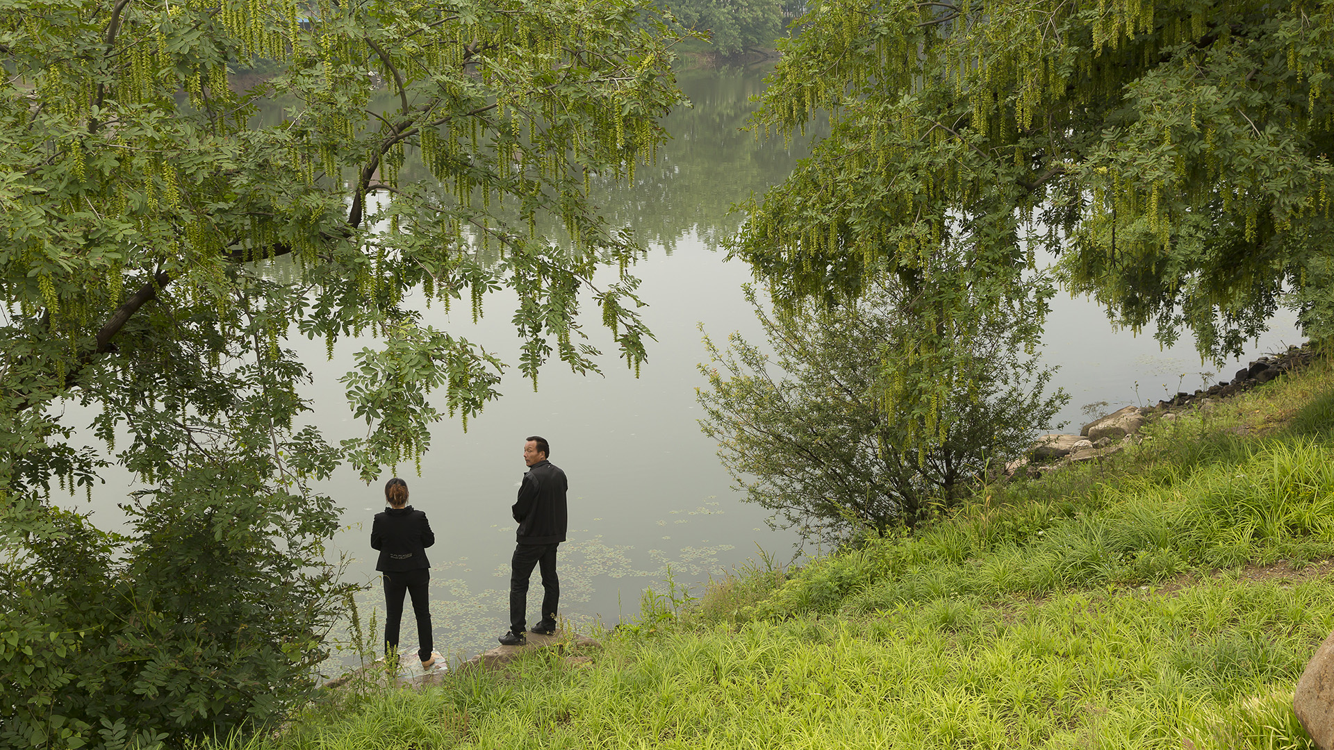
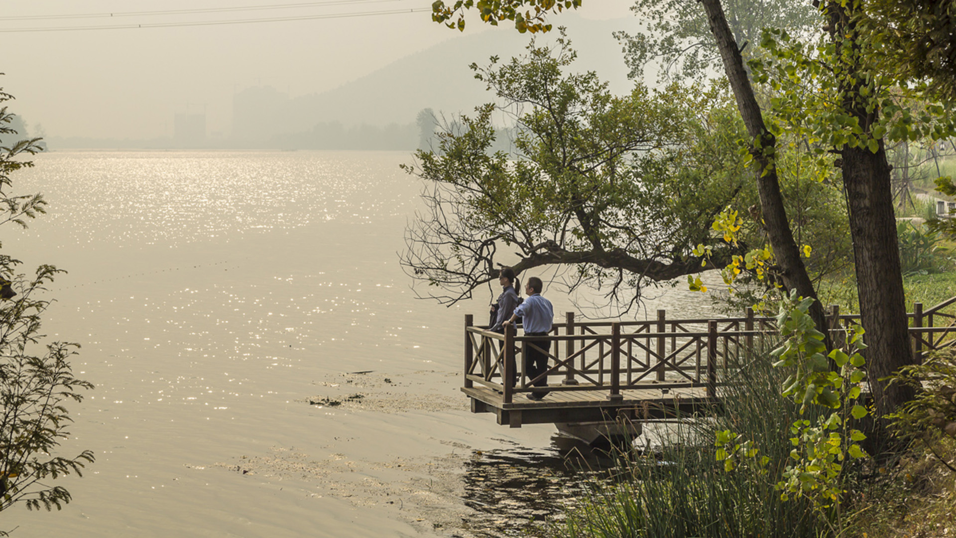
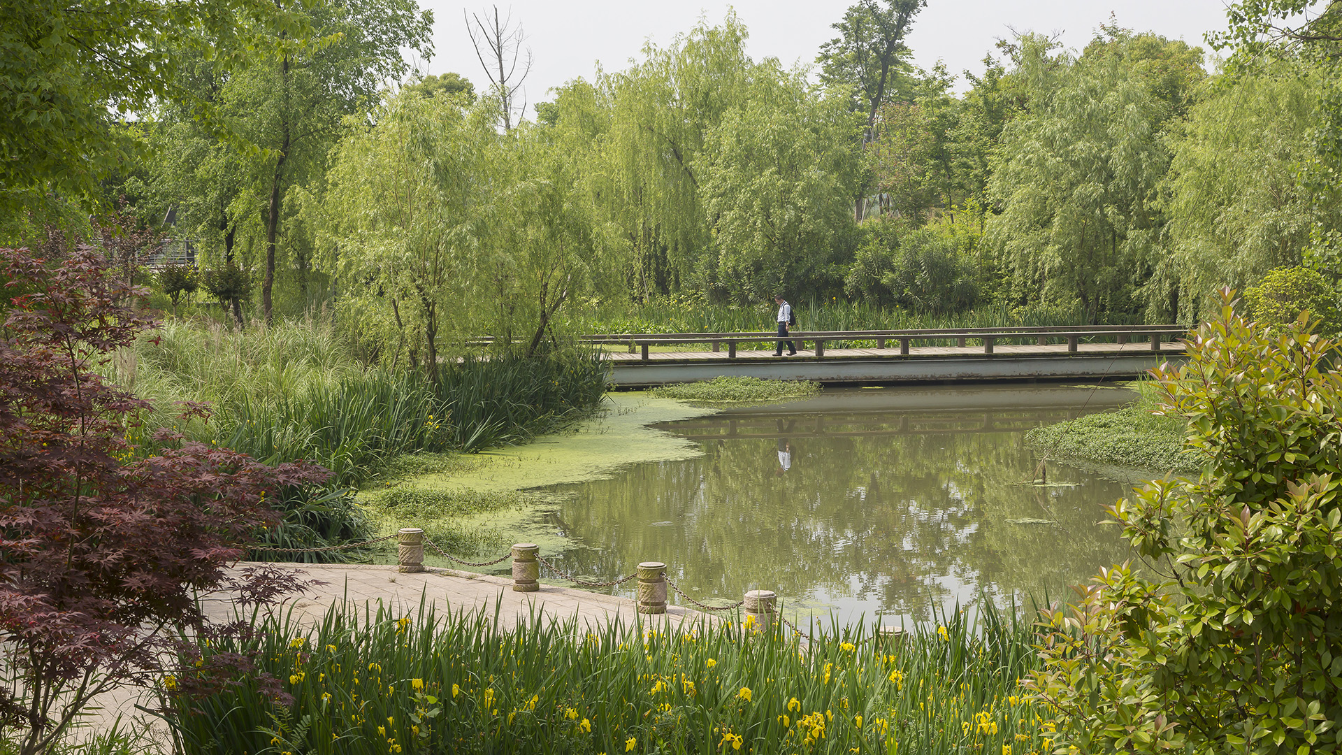
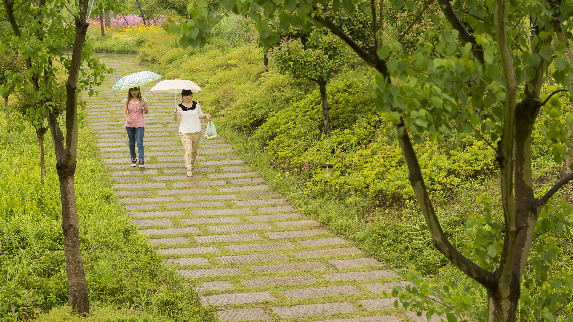
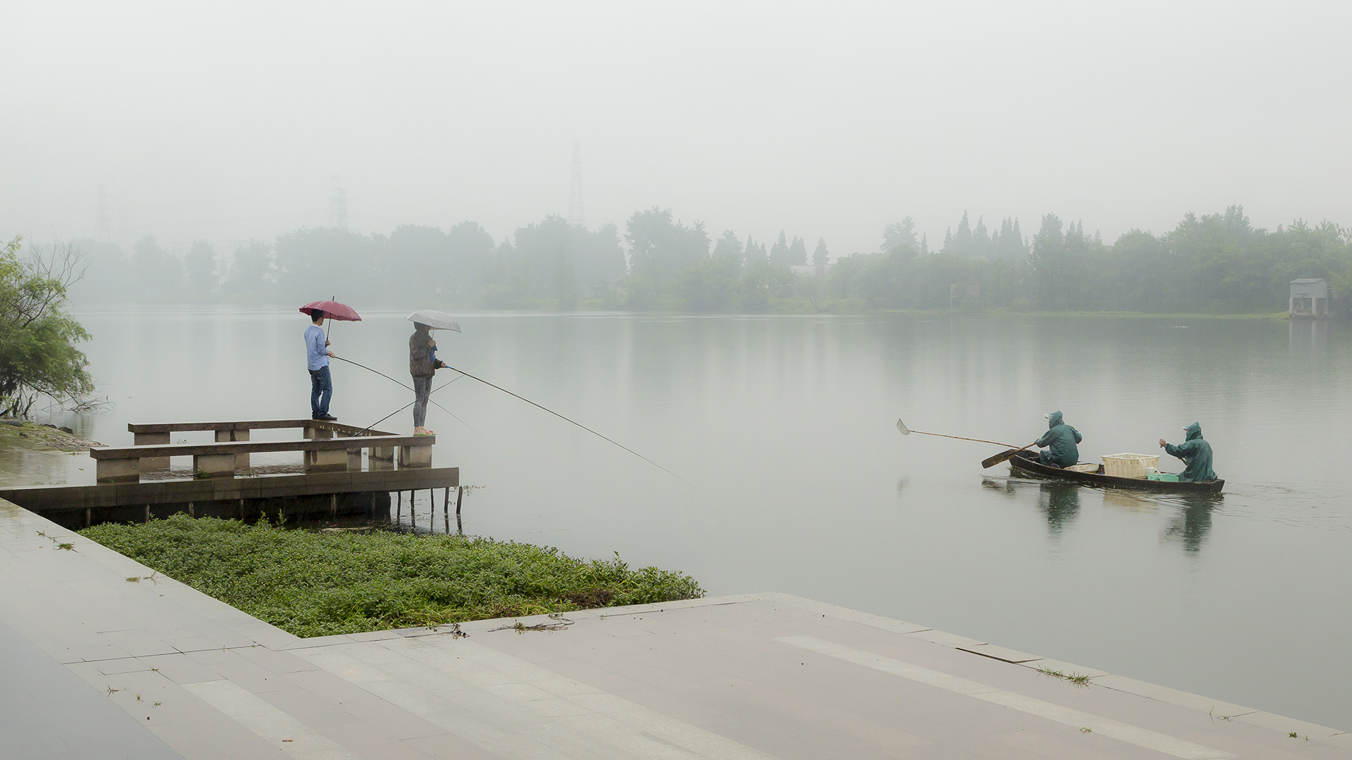
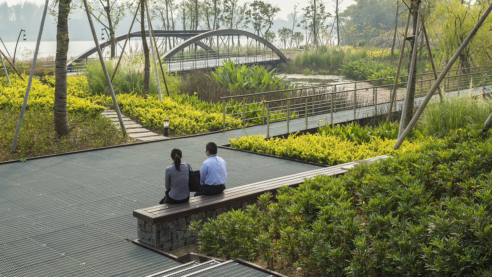
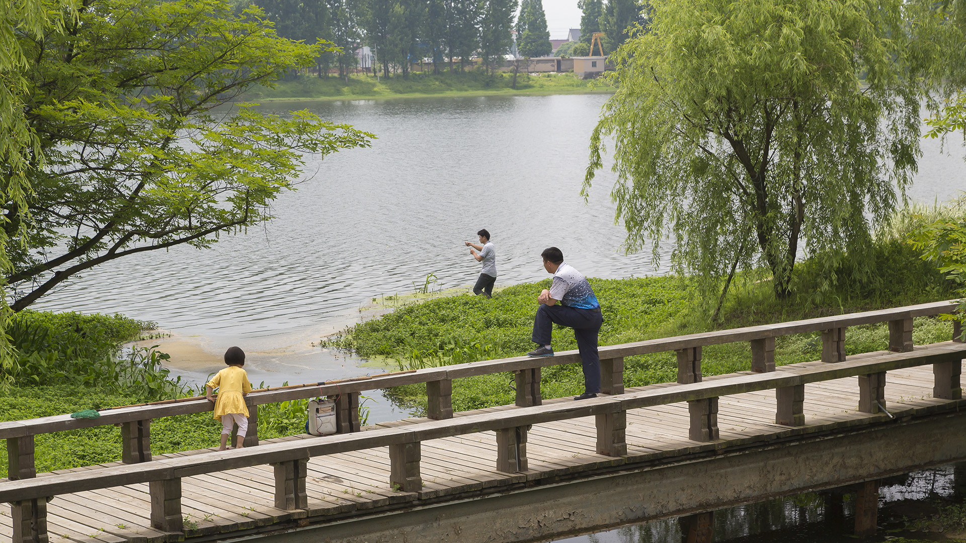
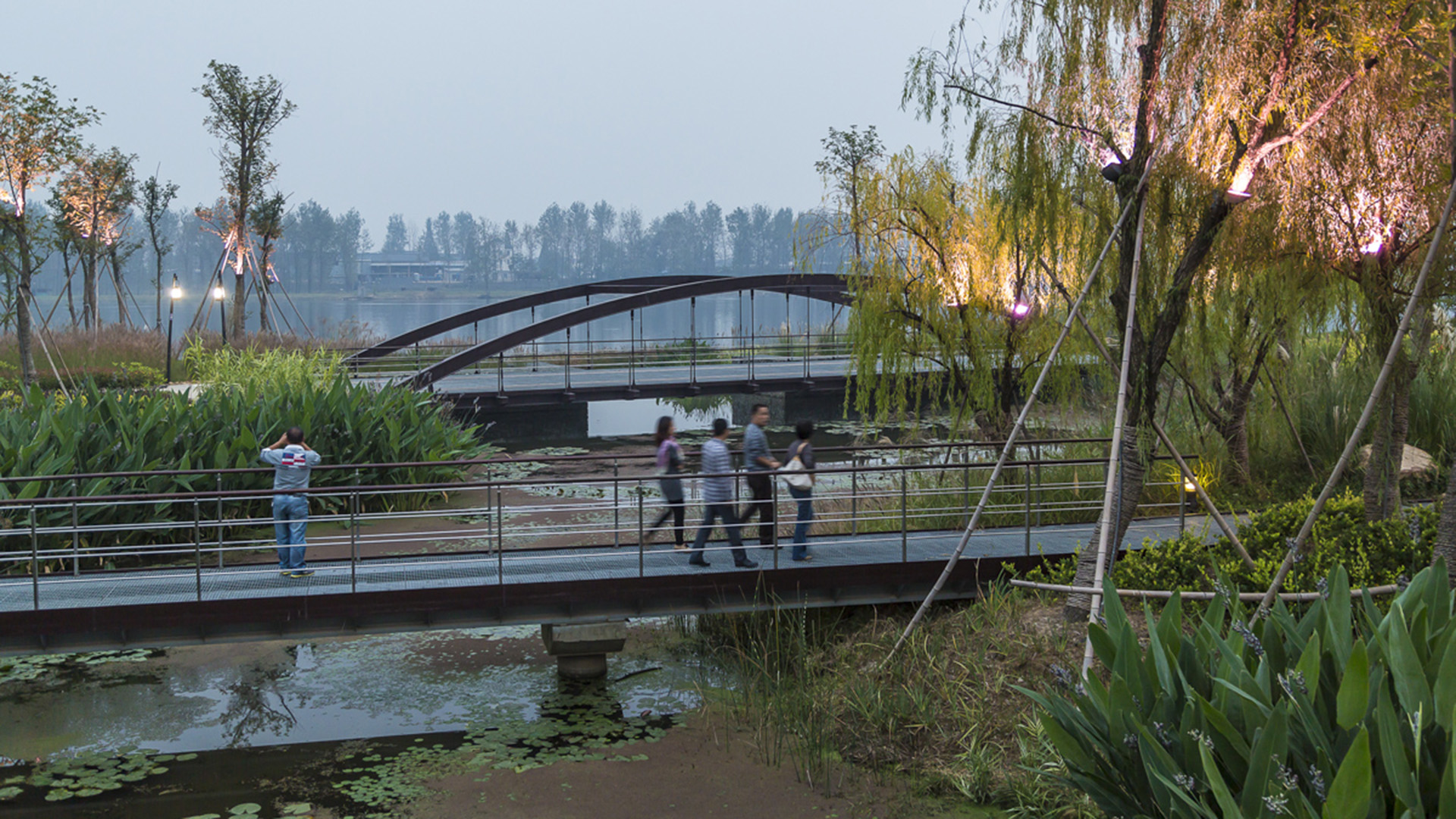
Seizing the area’s reputation for “one of the best mountain and water views in the world,” the natural framework along both sides of the Fuchun River inspires this plan integrating urban spaces with landscape to create a harmonious skyline. Fuyang flourishes with economic prosperity while honoring its vibrant cultural heritage.
The scope includes urban districts along both sides of Fuchun River. This newly modern city has experienced a significant transformation accompanied by rapid commercial and economic development. The famous painting by local artist, Huang Gongwang, “Mountain Life in Fuchun,” displays rolling mountains, verdant forests, rippling river, and spring clouds over the island, as well as the poetic layout of villages within this mountain/water landscape. Using it as inspiration, we derived four mountain/water development principles to control the height, density, and location of urban development as well as to develop preservation and utilization strategies for landscape resources.
Hangzhou Grand Canal
For centuries, the Beijing-Hangzhou’s Grand Canal – a staggering 1,000 linear miles which remain the world’s longest man-made waterway – was a lifeline for commerce and communication. The water’s edge was necessary for trade, a logical place to live, and often a driver of innovation. However, as with many waterfronts globally, it eventually fell victim to the...
South Waterfront Greenway
A bold new plan for the area along the Willamette River includes a 1-1/2 mile extension of the City’s downtown’s parks and the reclamation of the river’s edge for public recreation. Working closely with the City of Portland, developers, and natural resource advocates, the design team devised a rational plan that places access and activity in targeted nodes wit...
Longgang River Blueway System
The Shenzhen Longgang River Blueway System is envisioned to unlock the tremendous land value of this 13-mile-long suburban watershed and galvanize the city’s future growth. SWA’s proposal addresses urbanization issues pertaining to water, the environment, and open space shortage, while also activating industrial and cultural revitalization in the surrounding d...
Long Beach Shoreline
SWA prepared a land use and urban design plan for six miles of waterfront adjacent to downtown Long Beach. Through a series of meetings with local community stakeholders, we were able to determine the different needs of each district in the plan: of critical importance was the need to preserve valuable open space inland, and to maintain an ecological corridor ...


